
What is recorded here
In cutaway bog at N end of a prominent ridge. Circular pre-bog enclosure (D 28m) in poor condition defined by a low earthen bank with traces of a possible internal fosse. A gap in the bank at ESE appears modern. Regarded by Gibbons and Higgins (1988d, 66) as 'a henge-like structure', it is probably best described as an embanked enclosure (pers. comm. J. Waddell). The ridge summit is also occupied by a pre-bog field system (GA010-006----) and a stone row (GA010-003----).
The above description is derived from the published 'Archaeological Inventory of County Galway Vol. I - West Galway'. Compiled by Paul Gosling (Dublin: Stationery Office, 1993).
Date of upload: 05 August 2010
A local fairy fort (ringfort/rath); wider significance not recorded.
The monument record does not grant public access. Check the route and ask the landowner before entering private land.
- What survives
- Recorded monument
Places near here
 Tully MountainMountain / peak · 1329 yd
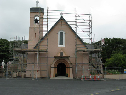 Catholic Church of Christ the Kingchurch/chapel · 1.0 mi
 DoongillEnclosure · 1.0 mi
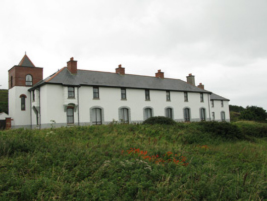 coastguard stationcoastguard station · 1.0 mi
 Mass-rock in Letter MoreMass-rock · 1.2 mi
 RoeillaunIslet · 1.3 mi
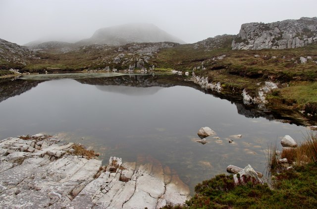 Tully Mountain WestMountain / peak · 1.4 mi
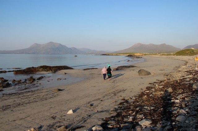 Renvyle BeachBeach / strand · 1.6 mi
 Green IslandIslet · 1.6 mi
 Rinvyle Castle (in ruins)Castle, tower house · 2.4 mi
 Renvyle CastleCastle · 2.4 mi
 Connemara National Park Visitor CentreHeritage attraction · 2.9 mi
Other information
Photo: Credit not shown in the picture search · Rights wording not checked; contact us if this picture should be removed