What is recorded here
Fairy fort / earthen ringfort in Tully (leitrim By., Carrick-On-Shannon Ed) is a grass-covered circular earthen platform, about 29m across, on the SE-facing slope of a drumlin ridge in County Leitrim. An overgrown 0.8m scarp and faint outer ditch mark its edge, while a modern 2.8m gap at the west suggests people still enter the old ring. The shape may have served as a boundary, shelter or ritual marker, but the living landscape has taken it back.
Located towards the top of the SE-facing slope of a NE-SW drumlin ridge. This is a grass-covered circular earthen platform (diam. 29m N-S; 29m E-W) defined by an overgrown scarp (H 0.8m) with traces of an external fosse, best preserved N-NE (Wth 1.5-2m; ext. D 0.15m). There is a modern entrance (Wth 2.8m) at W.
The above description is derived from 'The Archaeological Inventory of County Leitrim' compiled by Michael J. Moore (Dublin: Stationery Office, 2003). In certain instances the entries have been revised and updated in the light of recent research.
Compiled by: Michael Moore
Date of revised upload: 16 October 2019
The monument record does not grant public access. Check the route and ask the landowner before entering private land.
- What survives
- Recorded monument
Places near here
 IndicatedEnclosure · 363 yd
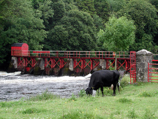 sluice/sluice gatesluice/sluice gate · 1225 yd
 Enclosure in GarvloughEnclosure · 1252 yd
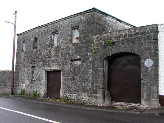 store/warehousestore/warehouse · 1315 yd
 Patrick Gill Memorial Plaque (IRA)Monument · 1.4 mi
 Robert Strawbridge MemorialMemorial · 1.4 mi
 CastlecarraCastle, unclassified · 1.6 mi
 Wildlife AreaNature reserve · 1.7 mi
 Moon RiverHeritage attraction · 2.4 mi
 Site of Dangan CastleCastle, unclassified · 3.1 mi
 Leabaidh DermotCave · 4.1 mi
 Mullinashee WoodForest · 4.9 mi