What is recorded here
In pasture, on top of W-facing slope, in foothills of Slievenamon. Excellent views of Slievenamon mountain to W. Circular area (diam. 35m) defined by low earthen bank (int. H 0.7m; ext. H 0.8m; Wth 5.95m). External fosse (Wth 4.2m; D 0.45m) NW-NE and traces of fosse (Wth 4m; D 0.25m) NE-E-S-W-NW. Evidence of stone incorporated into bank in places at E and along SW-arc, although this may be later field clearance.
Compiled by: Jean Farrelly
Date of upload: 26 August 2011
The monument record does not grant public access. Check the route and ask the landowner before entering private land.
- What survives
- Recorded monument
Places near here
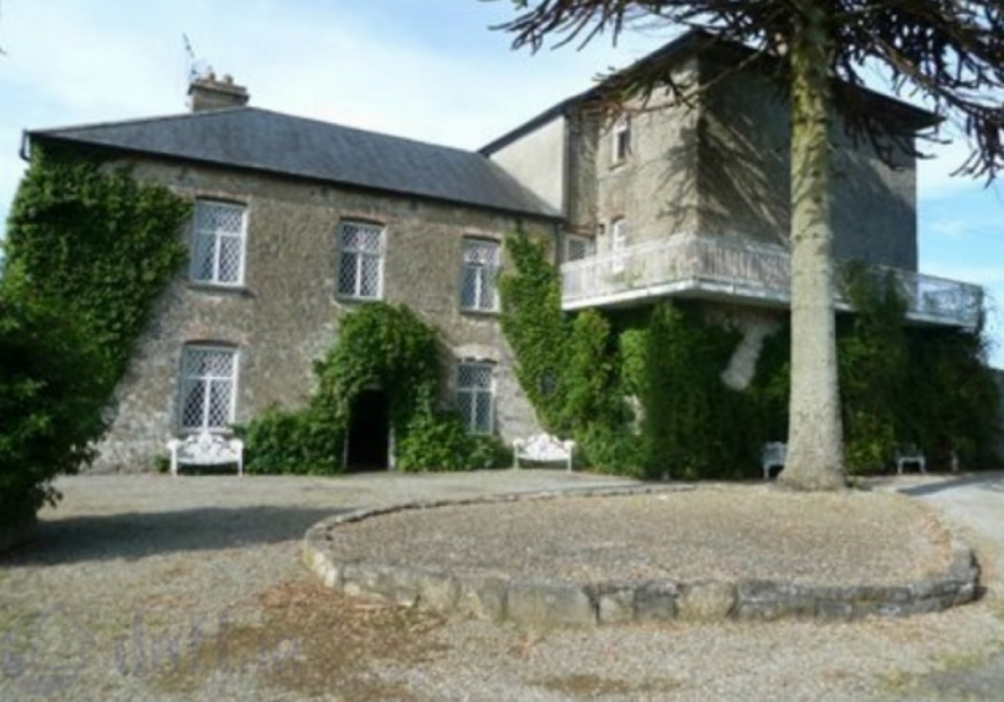 Enclosure in KnockrathkellyEnclosure · 1555 yd
 Enclosure in MayladstownEnclosure · 1632 yd
 Church in GarrangibbonChurch · 1.3 mi
 Carrigaloe RockNamed rock · 1.5 mi
 Whitehall Bridgebridge · 1.5 mi
 CastleCastle, ringwork · 1.5 mi
 Kilcash WoodForest · 1.8 mi
 SheegounaMountain / peak · 1.8 mi
 Bawn in KilcashBawn · 1.9 mi
 SlievenamonMountain / peak · 2.2 mi
 Wild CherryWild Cherry · 2.3 mi
 The SpoutMemorial · 3.0 mi