What is recorded here
Indicated is a circular earthwork in County Cavan, Ireland, where a raised central area thirty-two metres across still stands inside a steep scarp and forgotten ditch. The southern dip may have been the entrance, exposing the fort as a lived boundary rather than a dead shape. People may have entered that gap to tend animals, mark territory or leave the world behind. The earth remembers the turning of bodies even when every name has vanished.
Raised circular area (int. diam. 32m) enclosed by a steep scarp surmounted by a low modern bank incorporated into the field boundary, and an infilled fosse. Depression in scarp at S may represent original entrance.
The above description is derived from the published 'Archaeological Inventory of County Cavan' (Dublin: Stationery Office, 1995). In certain instances the entries have been revised and updated in the light of recent research.
Date of upload/revision: 22 December 2008
The monument record does not grant public access. Check the route and ask the landowner before entering private land.
- What survives
- Recorded monument
Places near here
 Giant's GraveArchaeological place · 504 yd
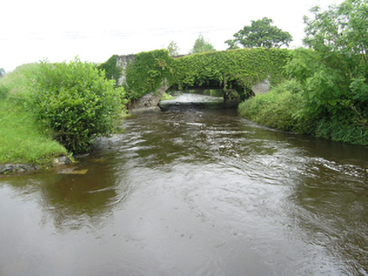 Curravogy Bridgebridge · 790 yd
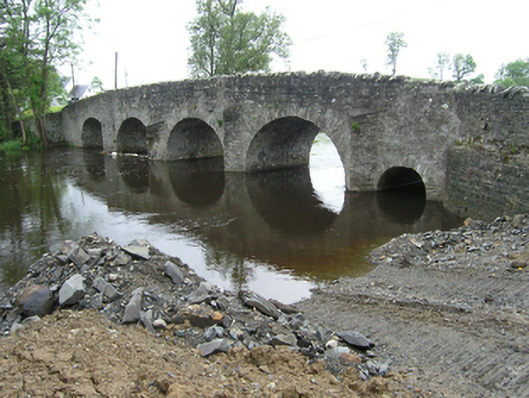 Rathkenny Bridgebridge · 1031 yd
 Fort HenryArchaeological place · 1236 yd
 Rookery WoodForest · 1.0 mi
 McCullagh's PlantationWood · 1.2 mi
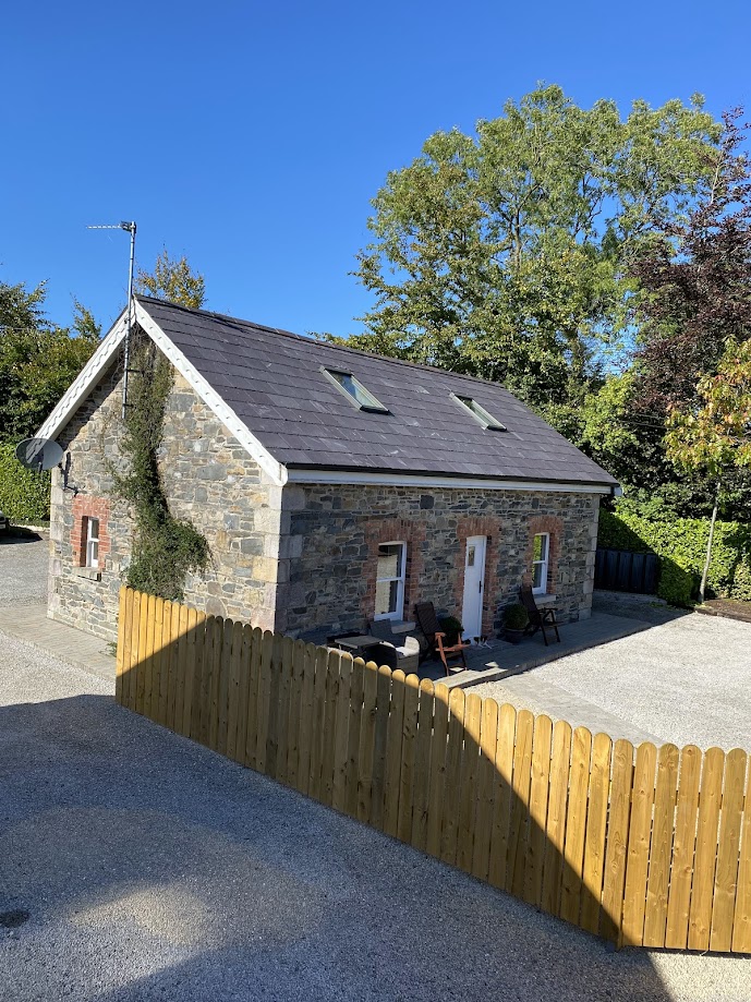 Enclosure in RakennyEnclosure · 1.2 mi
 DernaskeaghMountain / peak · 1.3 mi
 Embanked enclosureBawn · 1.3 mi
 CastleCastle, unclassified · 1.8 mi
 CorickMountain / peak · 2.5 mi
 Giants GraveArchaeological place · 3.2 mi