What is recorded here
Indicated is a flat-topped earthen mound in County Mayo, marked on the 1838 map as a circular enclosure but erased from later charts. Blackthorn and bramble have since strangled the site, hiding the mossy stones and large boulder that still define its shape. The river bends two hundred metres east, waiting for the thicket to thin or the mound to speak through the green.
In a thicket of overgrowth in a field of level pasture. The Pollagh River is located c. 200m to E where its course takes a broad bend.
A circular embanked enclosure (diam. 15-20m) is shown on 1838 OS 6-inch map; it is not shown on later map editions. It is known locally as 'Lisheen'.
This possible barrow consists of a circular, flat topped mound (overall diam. 11m E–W; 10m N–S; H 0.5 at N, 0.7m at W) of earth and stone. The top (diam. c. 5-6m) of the mound is intermittently defined by several low, moss-covered stones protruding from the sod. The stones vary in size; two on the N side are large and appear set in the ground, but there are also smaller stones, some of which may be field clearance. A large boulder abuts the base of the mound at S.
Engulfed in blackthorn, hawthorn and brambles; difficult to examine. A low stony rise (6m by 4m; H 0.5m) is located 4m to W, probably a field clearance heap.
Compiled by: Jane O’Shaughnessy
Date of upload: 10 September 2021
A circular embanked enclosure, likely a Neolithic ritual or ceremonial site, dating to the 4th–3rd millennium BCE. Its significance lies in its potential as a rare surviving example of early prehistoric landscape architecture in the region.
The monument record does not grant public access. Check the route and ask the landowner before entering private land.
- What survives
- Recorded monument
Places near here
 Killedan ChurchChurch · 1166 yd
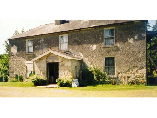 Killedan Housefarm house · 1291 yd
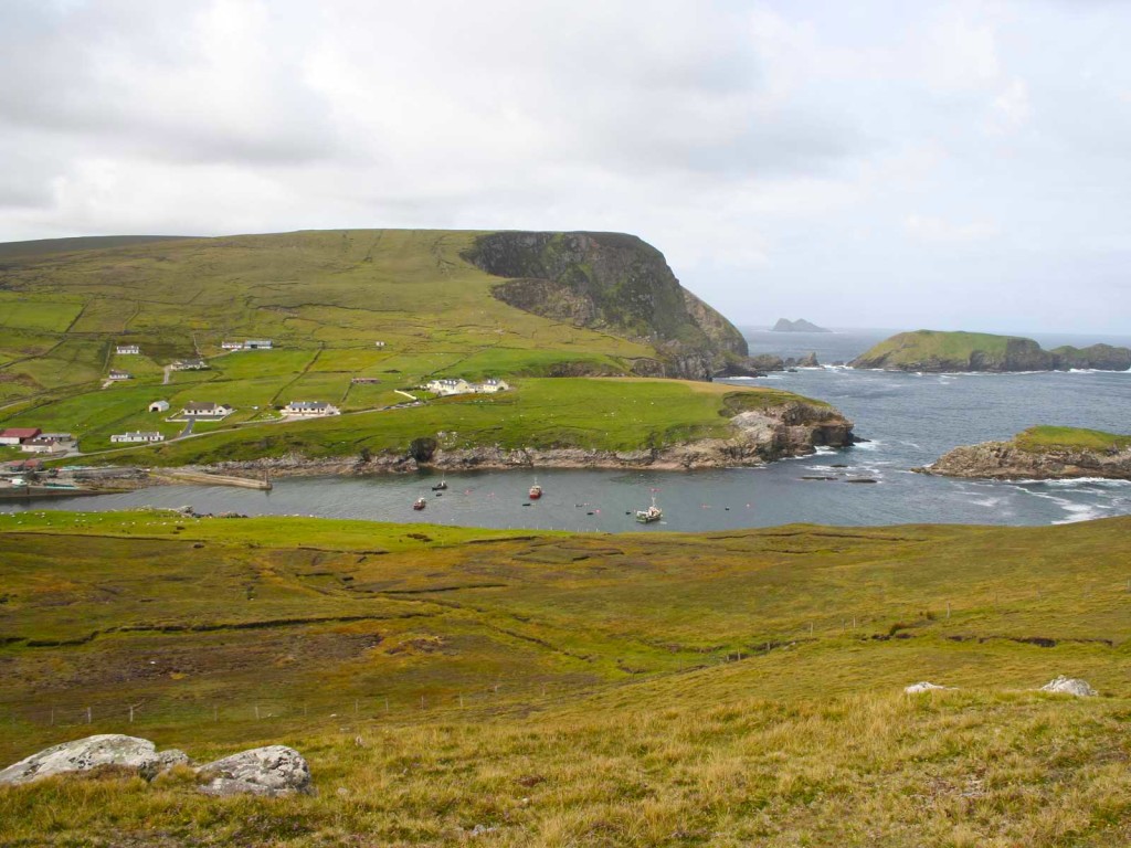 IndicatedFairy fort / earthen ringfort · 1735 yd
 Thorn CaveCave · 1.4 mi
 Enclosure in Clooneen (gallen By.)Enclosure · 1.7 mi
 I'll Send You The FareMemorial · 2.7 mi
 Kiltimagh MuseumMuseum · 2.8 mi
 Carrowbeg WoodWood · 3.9 mi
 CashlankeeghCastle, unclassified · 4.2 mi
 Youth Memorial GardenMemorial · 4.5 mi
 Brabazon WoodsForest · 4.5 mi
 Shonagawna Castle in RuinsCastle, unclassified · 4.7 mi