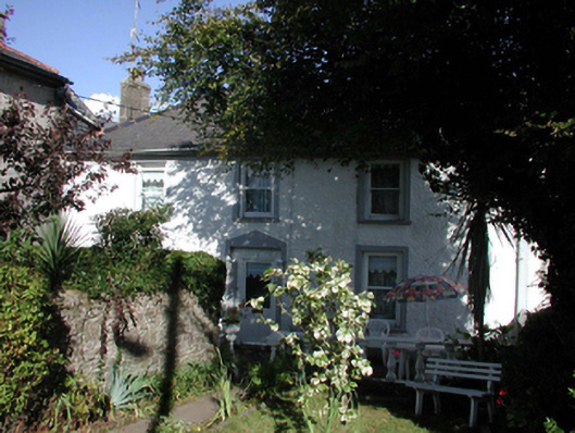
What is recorded here
End-of-terrace three-bay two-storey house, c.1830. Refenestrated, c.1880. Reroofed, c.1980. Hipped (shared) roof with replacement artificial slate, c.1980, clay ridge tiles, rendered (shared) chimney stack, and cast-iron rainwater goods on overhanging rendered eaves. Painted roughcast walls. Square-headed window openings with rendered sills, rendered surrounds, and replacement 1/1 timber sash windows, c.1880. Square-headed door opening with rendered surround, and replacement glazed timber panelled door, c.1980. Set back from road in own grounds with forecourt having random rubble stone boundary wall to perimeter of site.
An appealing house of modest appearance, which retains most of its original form and early fabric, and which, together with the associated houses in the terrace (22816179 – 80/WD-26-16-179 – 80), forms an attractive feature in the landscape.
This does not grant access. Most recorded buildings are privately owned; view them only from public ground unless the owner allows entry.
Places near here
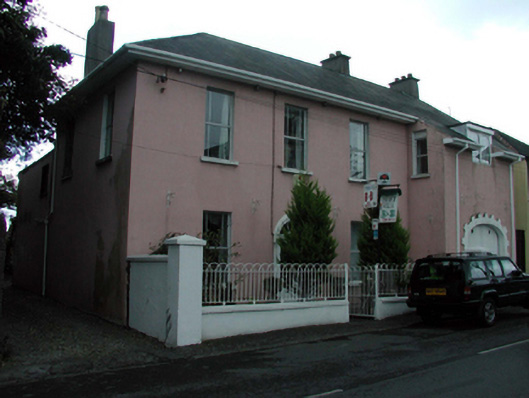 Church Villahouse · 23 yd
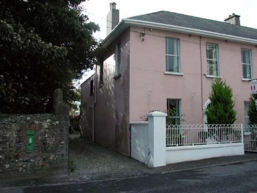 Historic buildingOfficially recorded historic building · 35 yd
 Cannon GunBattlefield · 163 yd
 Doneraile WalkWalking route · 260 yd
 Tourist InformationVisitor information · 624 yd
 Tramore Tourist OfficeVisitor information · 693 yd
 Burnt spread in MonloumBurnt spread · 1532 yd
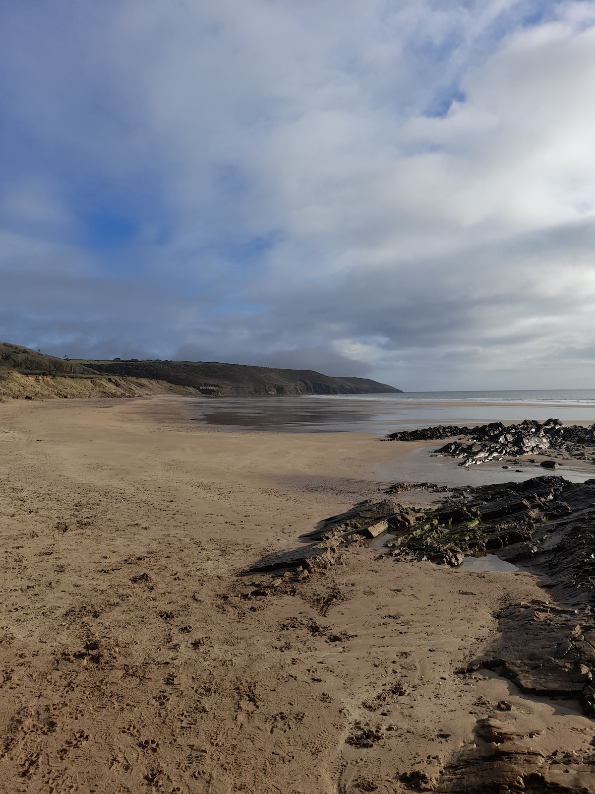 Enclosure in Crobally Upper (middlethird By.)Enclosure · 1620 yd
 Tramore Dunes WalkWalking route · 1739 yd
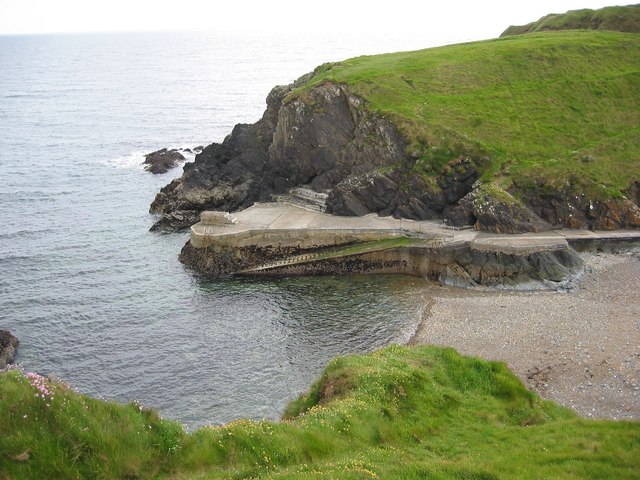 Newtown CoveBeach / strand · 1.1 mi
 Newtown WoodsWood · 1.1 mi
Other information
Photo: National Inventory of Architectural Heritage · Website use allowed for educational or private purposes with source credit