What is recorded here
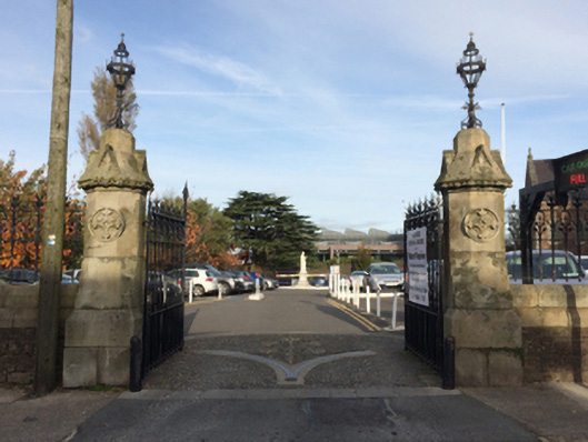
Gateways, installed 1858, on symmetrical plans comprising pairs of cruciform-detailed cut-granite octagonal piers on benchmark-inscribed granite ashlar plinths having cast-iron finial-topped cut-granite polygonal capping supporting oak leaf-detailed cast-iron double gates. Street fronted at entrances to grounds of Catholic Church of the Immaculate Conception.
A set of gateways with iron work supplied by the Mill Road Iron Works (established 1839) of Distillery Road (Roche et. al. 1988, 61) making pleasing visual statements at entrances on to the grounds of the Catholic Church of the Immaculate Conception (cf. 15505119): meanwhile, benchmarks remain of additional interest for the connections with cartography and the preparation of maps by the Ordnance Survey (established 1824).
This does not grant access. Most recorded buildings are privately owned; view them only from public ground unless the owner allows entry.
Places near here
 Catholic Church of the Immaculate Conceptionchurch/chapel · 57 yd
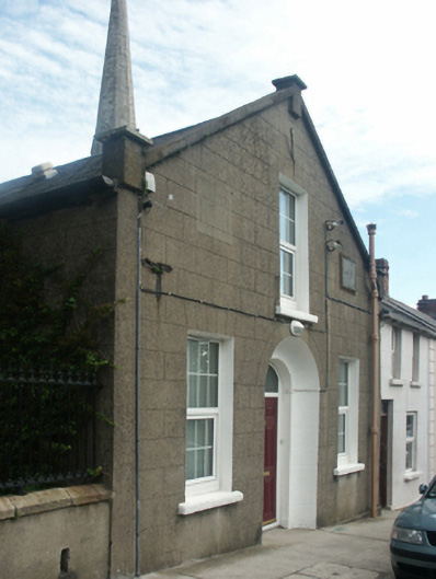 Francis Street Temperance Hallunknown · 69 yd
 The Collins-Grant GalleryGallery · 169 yd
 Field boundary in Townparks (st. Peter's Par.) (part of )Field boundary · 188 yd
 1798 MemorialMemorial · 236 yd
 Halla KennyMemorial · 301 yd
 St. Margarets WellHoly well · 385 yd
 Three Sisters River CruisesHeritage attraction · 397 yd
 Siege of Wexfordsiege · 740 yd
 Sack of Wexfordsiege · 743 yd
 Castle (in ruinis)Castle, tower house · 2.0 mi
 Dawn RedwoodDawn Redwood · 2.1 mi
Other information
Photo: National Inventory of Architectural Heritage · Website use allowed for educational or private purposes with source credit