What is recorded here
National Monument in state ownership No. 531. Built on the summit of a natural knoll at the E end of a low E-W ridge. Circular steep-sided platform (diam. 12m) defined by a slight earthen bank. A sunken trackway at the W separates it from another small enclosure (WI015-038----).
The above description is derived from the published 'Archaeological Inventory of County Wicklow' (Dublin: Stationery Office, 1997). In certain instances the entries have been revised and updated in the light of recent research.
Date of upload/revision: 17 December 2008
This monument is subject to a preservation order made under the National Monuments Acts 1930 to 2014 (PO no. 150/1940).
The monument record does not grant public access. Check the route and ask the landowner before entering private land.
- What survives
- Recorded monument
Places near here
 Enclosure in Tornant UpperEnclosure · 24 yd
 Cross in Tornant LowerCross · 322 yd
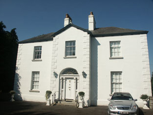 Catholic Church of Saint Nicholas of Myrapresbytery/parochial/curate's house · 1583 yd
 Memorial to 1798 rebellionMonument · 1693 yd
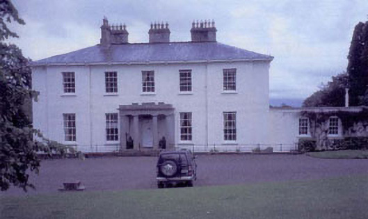 Tynte Parkhouse · 1.0 mi
 CastleCastle, unclassified · 1.3 mi
 Site of Fair GreenForest · 1.3 mi
 Colbinstown Castle (in Ruins)Castle, unclassified · 2.5 mi
 Ballyhook HillMountain / peak · 3.3 mi
 Burial ground in CrehelpBurial ground · 3.4 mi
 HawthornHawthorn · 3.5 mi
 Church MountainMountain / peak · 4.6 mi