What is recorded here
Tomdeely North held a twenty-five-metre earthen ring on level pasture, visible on the 1841 survey but erased before modern inspection. The fairness of that name suggests people once believed the circle belonged to unseen residents rather than ordinary farmers. Forgetting such a place is not loss of fact but loss of imagination, since the land still remembers the shape even when the soil no longer shows it.
In level pasture. Monument, depicted on 1841 OS 6-inch map as embanked circular enclosure (diam. c. 25m), has been levelled. No trace of monument evident when inspected.
Compiled by: Denis Power
Date of upload: 26 August 2011
The monument record does not grant public access. Check the route and ask the landowner before entering private land.
- What survives
- Recorded monument
Places near here
 Fulacht fia in Tomdeely NorthFulacht fia · 1094 yd
 Grave YardGraveyard · 1235 yd
 Tomdeely CastleCastle · 1347 yd
 Holly IslandIslet · 1436 yd
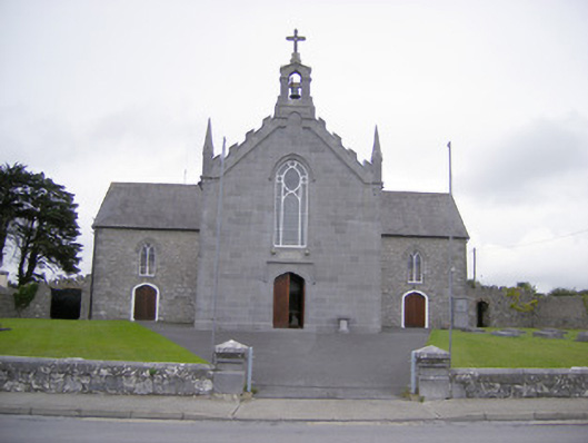 Saint Mary's Catholic Churchchurch/chapel · 1.2 mi
 Ballycullen Housecountry house · 1.3 mi
 TurretCastle, unclassified · 1.4 mi
 Askeaton CastleHeritage attraction · 1.5 mi
 Greenish IslandIslet · 1.9 mi
 Courtbrown PointHeadland · 2.3 mi
 Herring RockNamed rock · 2.6 mi
 Foynes Flying Boat & Maritime MuseumMuseum · 4.2 mi