What is recorded here
Aerial photograph (GB90.BE.02, 13 July 1990) shows cropmark of a possible ring-ditch with two ring-ditches (CW012-138---- and CW012-139----) c. 90m to the E and c. 30m to the SSW respectively.
Compiled by: Dr Gillian Barrett for the Archaeological Survey of Ireland.
Date of upload: 29 March 2010
The monument record does not grant public access. Check the route and ask the landowner before entering private land.
- What survives
- Recorded monument
Places near here
 Font in Tomard Lower (3 Detached Portions)Font · 306 yd
 Graveyard in Tomard Lower (3 Detached Portions)Graveyard · 306 yd
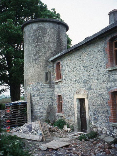 The Tower Housefarm house · 1117 yd
 Enclosure in CraanluskyEnclosure · 1510 yd
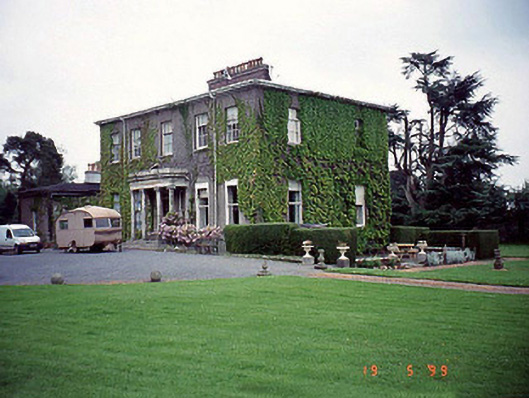 Milford Househouse · 1526 yd
 Graveyard in ClonmelshGraveyard · 2.2 mi
 Black Castle (in ruins)Castle, tower house · 2.4 mi
 Common LimeCommon Lime · 2.6 mi
 Clogrenan CastleCastle, tower house · 2.8 mi
 Gallows HillMountain / peak · 2.8 mi
 Sweet ChestnutSweet Chestnut · 4.4 mi
 Lock Keeper's House and Lodge MillsVisitor information · 4.7 mi