What is recorded here
Fairy fort / earthen ringfort in Togher is a fairy fort or earthen ringfort in Togher, County Westmeath, Ireland. The roughly oval area measures 24 metres north-south by 26.8 metres east-west and is defined by a broad bank of earth and stones that is best preserved at the east and west. Traces of an external fosse are visible at the southwest only, while an entrance gap 1.6 to 6.4 metres wide is located at the east-southeast. The interior slopes from north to south, and possible evidence of quarrying appears on the south side immediately south of the enclosing bank.
Situated on SE edge of rising ground with extensive views of the surrounding countryside. A roughly oval-shaped area (diam. 24m N-S x 26.8m E-W) defined by a broad bank of earth and stones which is best preserved at E and W and traces of an external fosse visible at SW only. Entrance gap (Wth 1.6m-6.4m) at ESE. The interior of the ringfort slopes from N-S. Possible evidence of quarrying on the S side of the ringfort immediately S of the enclosing bank. The ringfort is enclosed within a small field of post-1700 date the boundaries of which encroaches upon the perimeter of the monument at S and W. Wall footings of a possible post-1700 house can be seen outside the enclosing bank at N & NW.
See attached profile of monument surveyed and drawn by the ASI.
Compiled by: Frank Coyne & Caimin O'Brien
Date of upload: 15 November 2016
The monument record does not grant public access. Check the route and ask the landowner before entering private land.
- What survives
- Recorded monument
Places near here
 HacuredFairy fort / earthen ringfort · 272 yd
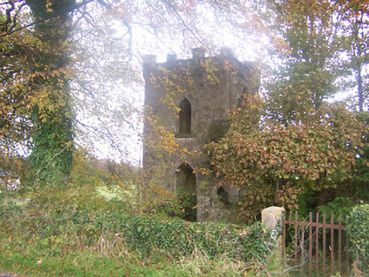 Togher Church (Foyran)church/chapel · 535 yd
 CastleCastle, motte · 977 yd
 Castletown Houseworker's house · 1057 yd
 Togher CastleCastle · 1118 yd
 IndicatedFairy fort / earthen ringfort · 1202 yd
 Fox CovertForest · 1.8 mi
 MullaghmeenMountain / peak · 2.0 mi
 Watty's RocksIslet · 2.1 mi
 Muldarry PointHeadland · 2.2 mi
 Mullaghmeen White WalkWalking route · 2.3 mi
 Ross BayBay · 2.3 mi