What is recorded here
Described in gothic script as Toberrevagh on the 1839 and 1924 eds of the OS 6-inch map, and located on a NE-facing slope with a small NW-SE stream c. 110m to the NE. The name - Tobar Riabhabh - means the dark, swarthy well (pers. comm. C. Ó Crualaoich). This is a natural spring (dims. c. 1m x c. 0.6m) with a stone lining but there is no evidence of veneration.
Compiled by: Michael Moore
Date of upload; 18 July, 2012
Linked to Saint Kilnew, Toberrevagh well is traditionally associated with cures for skin ailments and general weakness. The name Tobar Riabhabh, meaning "the dark, swarthy well," may reflect the colour of the water or the appearance of those who visited seeking healing.
The monument record does not grant public access. Check the route and ask the landowner before entering private land.
- What survives
- Recorded monument
Places near here
 Chapel (in ruins)Church · 1 yd
 TobermogueHoly well · 140 yd
 IndicatedFairy fort / ringfort · 668 yd
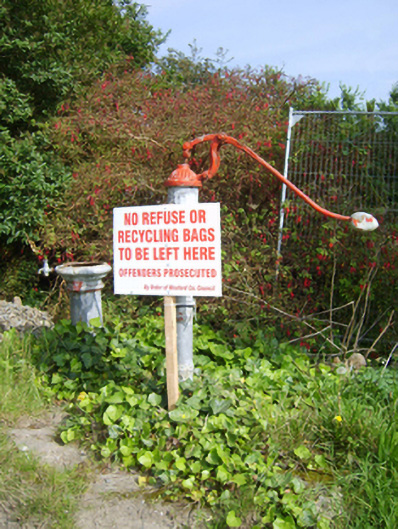 water pumpwater pump · 1632 yd
 Ballingowan MoteCastle, motte · 1.3 mi
 Tinnaberna BeachBeach / strand · 1.7 mi
 Hachured moundCastle, motte · 2.1 mi
 1798 Insurrection MemorialMemorial · 2.6 mi
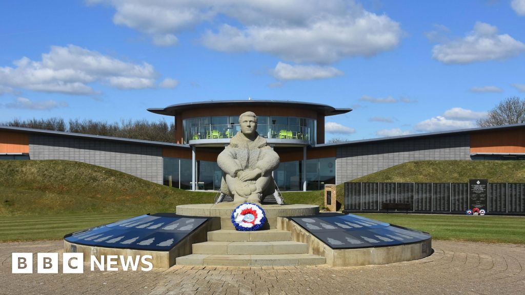 Memorial to The PomonaMemorial · 2.7 mi
 Blackwater Coastal Erosion Monitoring PointViewpoint · 3.3 mi
 Birds of PreyVisitor information · 3.4 mi
 71Mountain / peak · 3.6 mi