What is recorded here
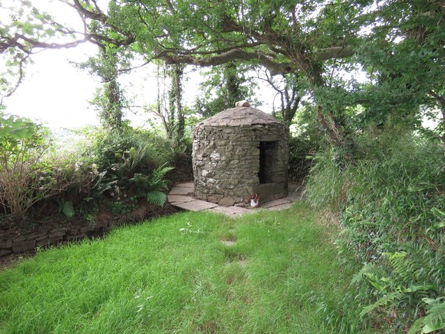
Tobernasool is a disused holy well beside Burren Bridge in County Cork, preserved under a lintelled stone roof. It appeared on the 1842 Ordnance Survey map slightly east of its present setting, suggesting the water or its ritual boundary shifted before human memory faded. The chamber still excludes rain, yet no longer excludes people; that absence turns the well from a living shrine into a quiet witness of forgotten devotion.
Located beside Burren Bridge, covered by stone-built structure with lintelled roof. No indication that well still in holy use. On OS 6-inch map (1842), well of same name (CO123-057---) shown 180m to E.
The above description is derived from the published 'Archaeological Inventory of County Cork. Volume 1: West Cork' (Dublin: Stationery Office, 1992). In certain instances the entries have been revised and updated in the light of recent research.
Date of upload/revision: 14 January 2009
Images provided by and copyright of Amanda Clarke 2016-2022 https://holywellscorkandkerry.com/
Tobernasool is traditionally associated with Saint Sool, a 7th-century Irish saint known for his ascetic practices in the Burren region. The well's name, derived from "Tobar na Sóil," reflects its historical connection to the saint, though specific cures or rituals linked to the site are not well documented.
The monument record does not grant public access. Check the route and ask the landowner before entering private land.
- What survives
- Recorded monument
Places near here
 Burren Bridgebridge · 12 yd
 TobernasoolHoly well · 205 yd
 The Glenhouse · 294 yd
 Flaxfort StrandBeach / strand · 654 yd
 Trinity WellSpring · 729 yd
 IndicatedEnclosure · 1205 yd
 Anchor from Cardiff Hall ShipHeritage attraction · 1.2 mi
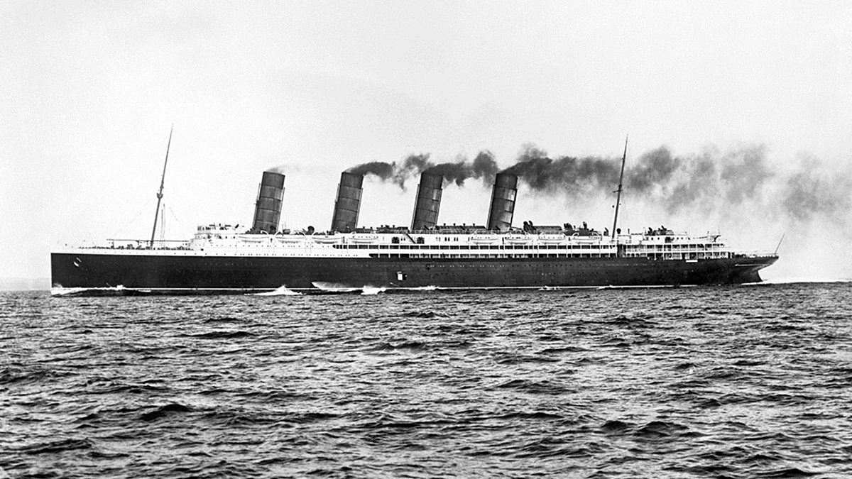 Lusitania ModelHeritage attraction · 1.3 mi
 Cork oakCork oak · 1.3 mi
 CourtCastle, unclassified · 1.3 mi
 Chilean myrtleChilean myrtle · 1.3 mi
 Garranefeen StrandBeach / strand · 1.4 mi