What is recorded here
Fairy fort / earthen ringfort in Toberclare is a fairy fort or earthen ringfort in Toberclare, County Westmeath, Ireland. The 1971 and 1976 descriptions identify this bivallate structure as a circular area 33 metres in diameter, enclosed by an inner bank, an intervening fosse, and an outer bank. The inner bank stands 1 to 1.5 metres high and is well preserved, except where it is denuded on either side of a causewayed entrance at the east, which measures 6.8 metres wide at the top and 4.5 metres at the base.
Situated on a slight WSW-facing slope, in pasture with good views to SW and NW. Bivallate ringfort described in 1971 and 1976 as a circular-shaped area (diam. 33m) enclosed by an inner bank, an intervening fosse and an outer bank. The bank is substantial (ext. H 1-1.5m) and is well preserved, except where denuded either side of the causewayed entrance (Wth at top 6.8m; basal Wth 4.5m) at E. There is a wide, deep U-shaped fosse with a corresponding causeway (Wth at top 4m; overall Wth 6.4m; H 1.1m) at E. There is an outer bank visible from E-SE-SSE with a wide space (approx. Wth 6m) between it and the intervening fosse. A curvilinear field fence is visible from SSE-S-WSW and appears to have been created out of the outer bank. There is a disturbance depression inside the inner bank at NNW. The interior has a slight N-facing slope with cultivation ridges running N-S.
Compiled by: Alison McQueen, Vera Rahilly and Caimin O’Brien
Date of upload: 16 July 2019
The monument record does not grant public access. Check the route and ask the landowner before entering private land.
- What survives
- Recorded monument
Places near here
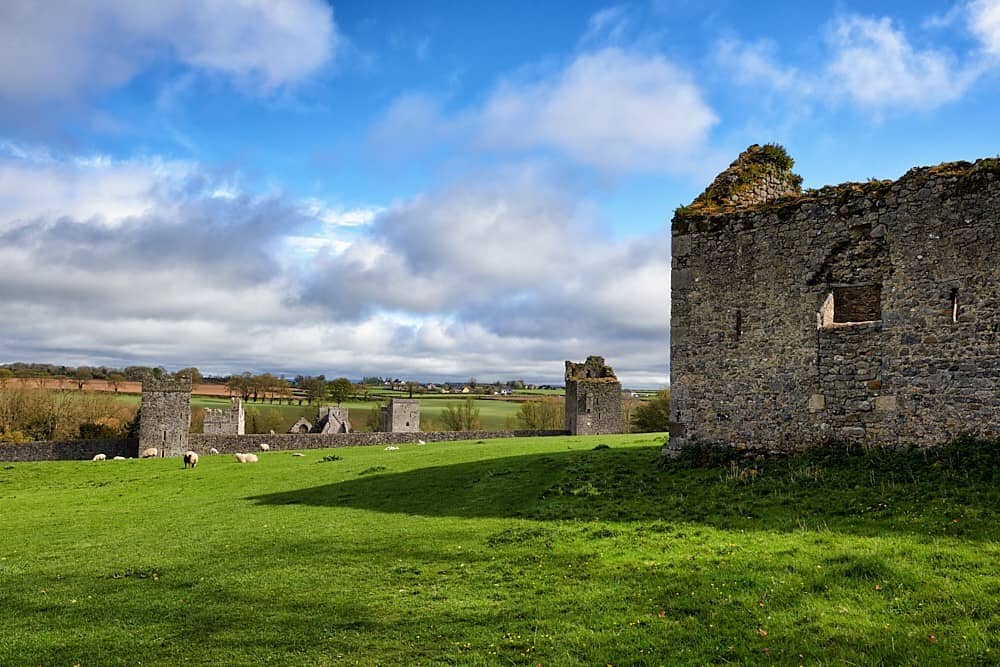 Partially hachuredFairy fort / earthen ringfort · 496 yd
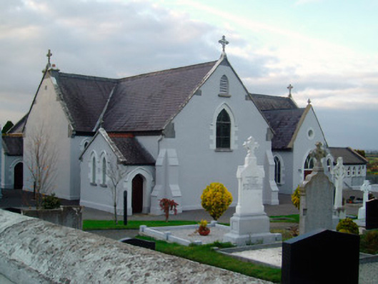 Catholic Church of the Immaculate Conceptionchurch/chapel · 606 yd
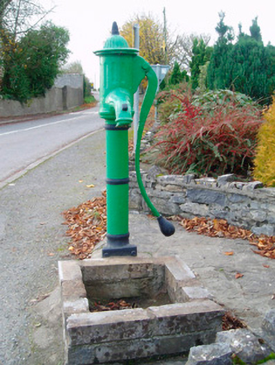 water pumpwater pump · 678 yd
 Ballynakill CastleCastle · 1286 yd
 Bunown CastleCastle · 1649 yd
 Enclosure in Tullaghan (kilkenny West By.)Enclosure · 1729 yd
 Killinure BayBay · 1.9 mi
 Traveen BayBay · 2.2 mi
 Temple's IslandIslet · 2.3 mi
 HareislandIslet · 3.2 mi
 Siege of Athlonesiege · 5.3 mi