What is recorded here
Partial enclosure stands in County Limerick grassland beside an active gravel quarry, its northern bank still visible while roadworks have erased the rest. Maps from 1840 and 1897 show a rounded field with radiating boundaries, suggesting people shaped the land long before extraction began. The quarry now consumes what remained, turning ancient enclosure into temporary scar.
In grassland, with gravel quarry immediately to W, townland boundary with Farnane 140m to the W. The 1840 OS 6-inch map depicts a sub-circular shaped area enclosed by a bank with a gravel pit 50m to the W and post-1700 field boundaries radiating out from the N, E and S. On the 1897 OS 25-inch map the area is depicted as an irregular shaped field enclosure (approx. dims. 37m NW-SE x 28m NE-SW) with an opening at NW. The outline of the enclosure is indicated with a solid line in the same fashion as the surrounding field boundaries and no antiquity is depicted at this location. Digital Globe imagery taken 2011-2013 shows an irregular shaped enclosure with field boundaries radiating from N, E, S and NW. Google Earth orthoimage taken 28/06/2018 shows that the enclosing element only survives at N, elsewhere it has been levelled. Roadways have been constructed across the N and S side of the monument to gain access to the gravel quarry located immediately to the W and the trees from the interior have been cleared.
See attached Google Earth orthoimages taken 28/06/2018, 25/05/2017, 25/03/2017
Compiled by: Martin Fitzpatrick
Date of upload: 10 June 2020
The monument record does not grant public access. Check the route and ask the landowner before entering private land.
- What survives
- Recorded monument
Places near here
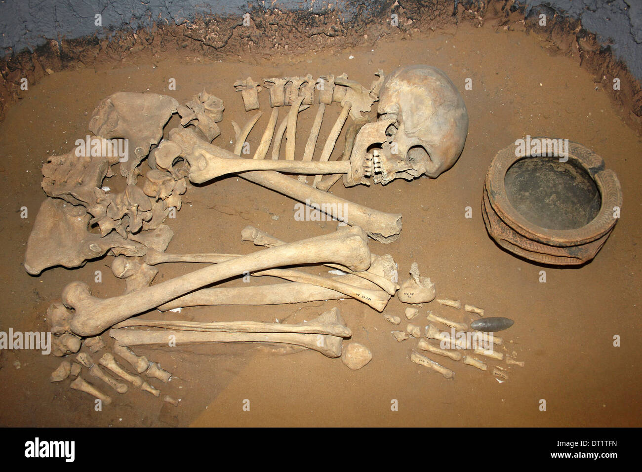 BarrowBarrow, ditch barrow · 629 yd
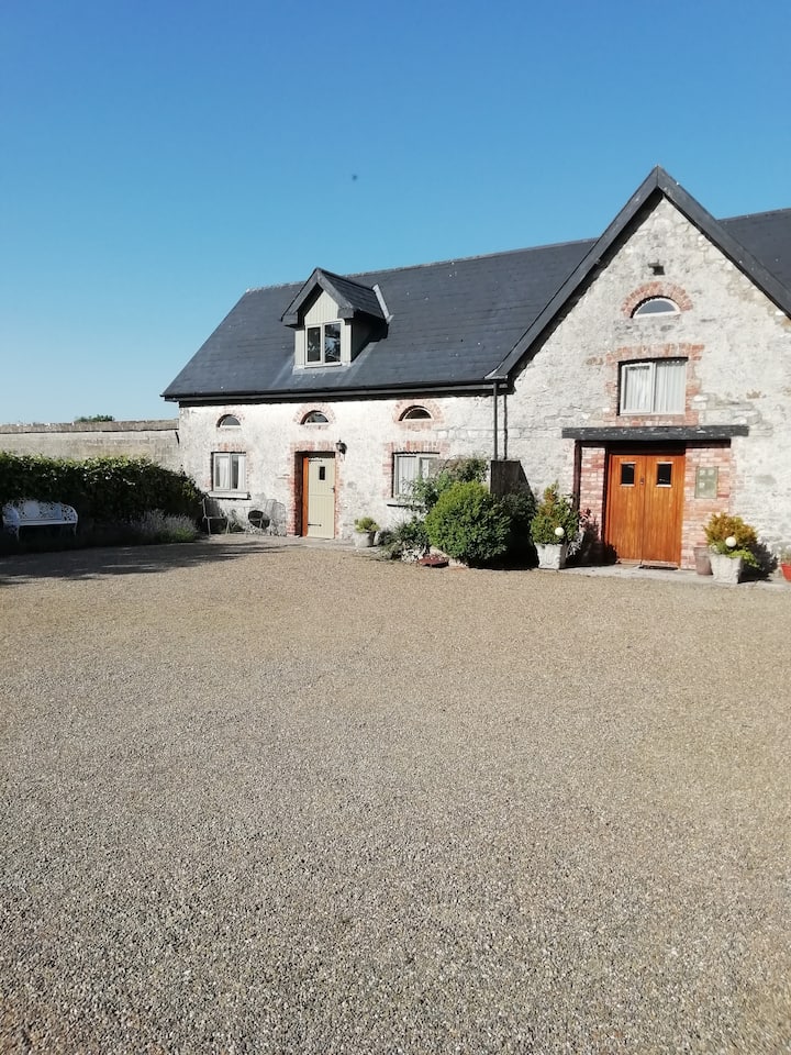 Enclosure in AhacoreEnclosure · 647 yd
 Castle Comforthouse · 1024 yd
 Maddyboy Househouse · 1345 yd
 Graveyard in AbingtonGraveyard · 1687 yd
 CastleCastle, unclassified · 1729 yd
 Sliev Felim WayVisitor information · 1.2 mi
 Bawn in RathBawn · 1.8 mi
 Slieve Felim WayWalking route · 4.3 mi
 Slieve FelimMountain / peak · 5.3 mi
 KnockseefinMountain / peak · 6.5 mi
 St. Patrick's WellSpring · 8.3 mi