
What is recorded here
Ballybeg Castle stands alone on flat Tipperary pasture, its thick limestone walls and off-centre eastern doorway built to withstand siege and abandon alike. The Civil Survey of 1654-6 already called it out of repair, wasted by the redd bogg of Ely, while the Earl of Ormond remained its proprietor. A ringfort to the north hints at older occupation, and a faded crease on the eastern wall suggests a seventeenth-century house was once joined to the tower. Without a surviving bawn, the castle faces the sky as a bare, stubborn landmark of medieval power and later neglect.
Ballybeg Castle is recorded as a castle in County Tipperary. Its open map record supplies this location and any linked names or public references.
Ballybeg Castle was built in the 15th century by the Butler family, who were prominent Anglo-Norman lords in Ireland. It is remembered as a strategic stronghold in the historical development of the Tipperary region.
Places near here
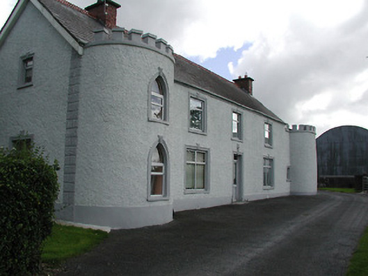 Castle Viewhouse · 504 yd
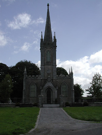 Saint Mary's Church (Twomileborris)church/chapel · 533 yd
 Sweet ChestnutSweet Chestnut · 913 yd
 Ballymoreen CastleCastle · 993 yd
 Ballydavid CastleCastle · 998 yd
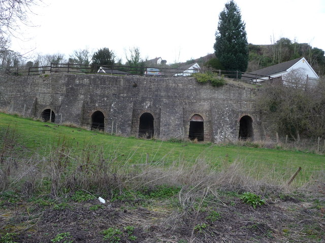 Enclosure in LiskeveenEnclosure · 1478 yd
 Enclosure in Liskeveen,parkstownEnclosure · 1527 yd
 Horse and JockeyVisitor information · 1.7 mi
 European ashEuropean ash · 1.8 mi
 Derrynaflan TrailHeritage attraction · 1.9 mi
 Gift Horse GalleryGallery · 2.1 mi
 Gobban Saer's GraveArchaeological place · 2.4 mi
Other information
Photo: Mike Searle · CC BY-SA 2.0