
What is recorded here
Kedrah Fort is an archaeological place in County Tipperary, Ireland. This large earthwork crowns a steep-sided hillock, enclosing a hilltop roughly 170 metres across with an internal fosse, or defensive ditch, and a substantial outer bank reaching nearly 3.5 metres high on its interior face. The hill drops sharply to the south-west, while quarrying has cut into the summit and reduced parts of the bank, and in the north-west sector the bank bends outward to form what may be a small rectangular structure about 10 by 12 metres, with a possible 2 metre wide entrance just to its west.
Kedrah Fort is recorded as a archaeological place in County Tipperary. Its open map record supplies this location and any linked names or public references.
Places near here
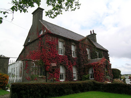 Keylong Househouse · 544 yd
 Bridge in Cloghabreedy,kedrahBridge · 764 yd
 Bawn in CloghabreedyBawn · 880 yd
 Bawn in KedrahBawn · 892 yd
 IndicatedFairy fort / earthen ringfort · 1.2 mi
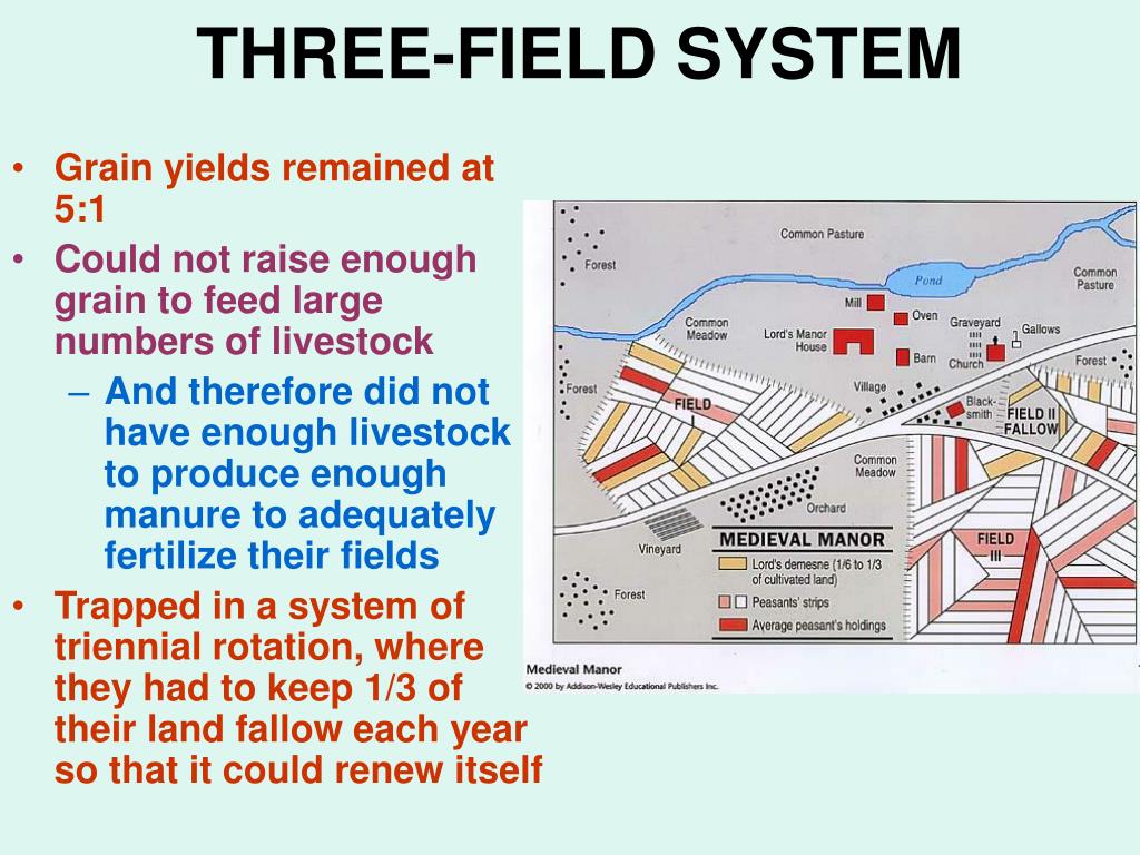 Field system in Caherabbey LowerField system · 1.2 mi
 Caher AbbeyHeritage attraction · 1.6 mi
 Siege of Cahir Castlesiege · 1.8 miCahir CastleHeritage attraction · 1.9 mi
 European YewEuropean Yew · 2.9 mi
 Cottagehill WoodForest · 3.0 mi
 Slieveanard NE TopMountain / peak · 3.9 mi
Other information
Photo: Credit not shown in the picture search · Rights wording not checked; contact us if this picture should be removed