What is recorded here
Cahercarbery More, the stone fort of Cairbre, still stands on a Kerry cliff with three banks, two fosses and a causeway leading inward from the east. Its eighty-metre interior held small hut sites beside the sea, while Cahercarbery Beg waited half a mile south like a smaller echo. The name suggests Cairbre himself, but the fort speaks more plainly: a coastal place built to be defended, seen and lived in.
This promontory fort is marked on the OS maps as 'Cahercarbery (More)', Cathair Cairbre (mór), stone fort of Cairbre. About half a mile S lies another promontory fort, 'Cahercarbery (Beg)'. Cahercarbery (More) consists of a series of three banks, the inner two constructed of stone; small hut sites would appear to have been constructed within the stone wall. Two fosses are to be noted and a causeway leads into the interior from the E. The internal diameter E-W measures 80m, while the external diameter measures 95m. The length of the stone wall measures c90m.
The above description is derived from C. Toal, ‘North Kerry Archaeological Survey’. Dingle. Brandon in association with FAS Training and Employment Authority (1995), no. 113. In certain instances the entries have been revised and updated in the light of recent research.
Date of upload: 2 August 2013
The monument record does not grant public access. Check the route and ask the landowner before entering private land.
- What survives
- Recorded monument
Places near here
 Kerry Head Signal TowerRuins · 1.0 mi
 Enclosure in TiduffEnclosure · 1.2 mi
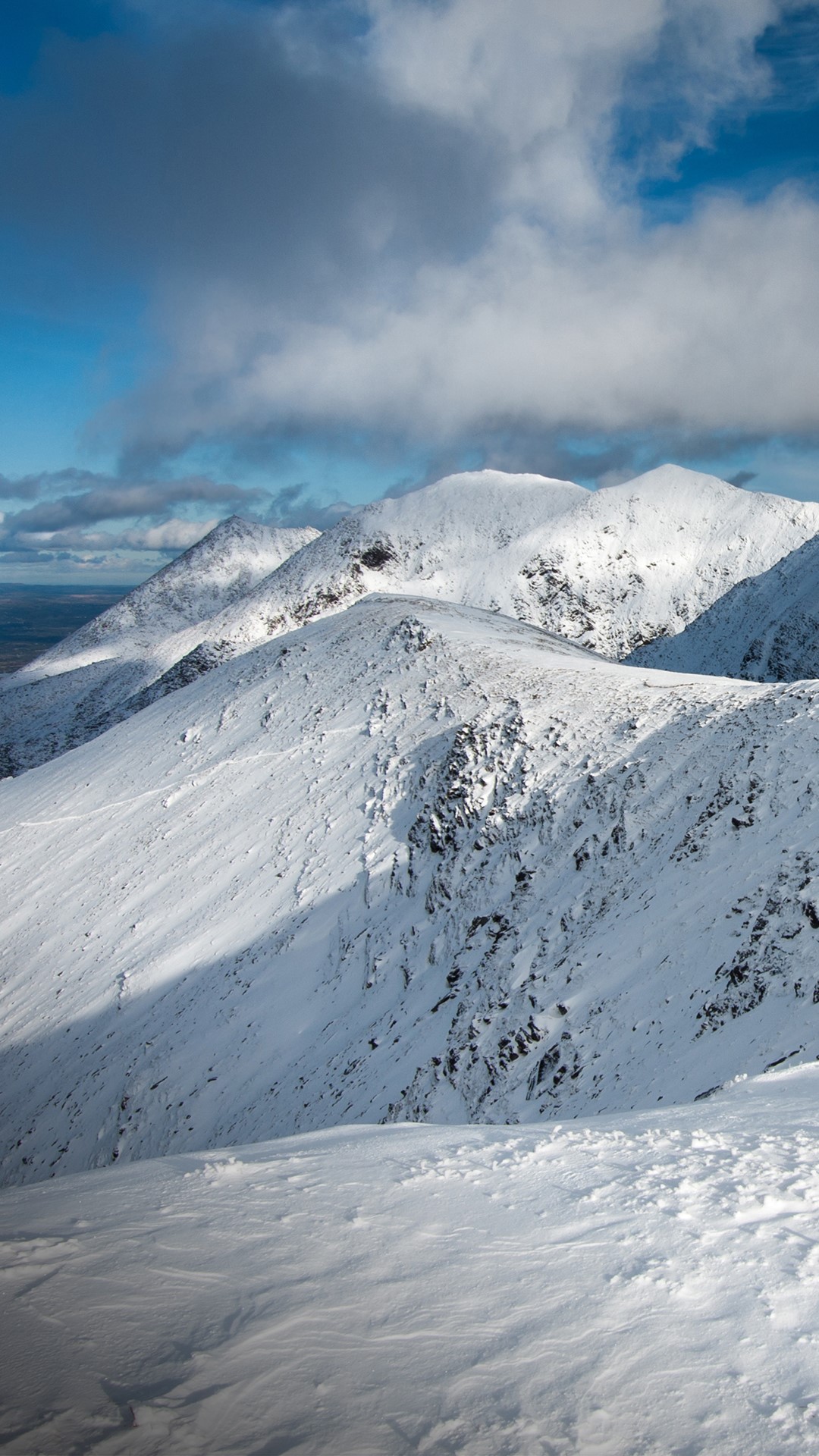 Triskmore MountainMountain / peak · 1.8 mi
 St Macadaws Church (in ruins)Church · 1.8 mi
 Enclosure in GlenderryEnclosure · 1.9 mi
 Triskbeg MountainMountain / peak · 2.3 mi
 Site of Ballingarry CastleCastle, unclassified · 5.2 mi
 Our Lady's Holy WellSpring · 5.2 mi
 Castle Shannon (in ruins)Castle, unclassified · 6.0 mi
 Inshaboy PointHeadland · 6.5 mi
 IllaunboeIslet · 7.0 mi
 IllauntannigIslet · 7.2 mi