What is recorded here
Protected by Preservation Order No. 32/1976, together with the surrounding enclosures (KD032-026001-), near the centre of which the surviving stones stand. An arc of four unworked boulders may be the surviving S portion (ESE, SSE, SSW and WNW) of a stone circle (est. original diam. c. 16m). A modern field bank and drain bisect the putative circle E-W and a belt of coniferous trees has been planted to the S of this boundary, across the site. Two of the boulders are granite, (1.2m E-W; 1m N-S; H 0.9m and 1.9m N-S; 1.3m E-W; H 0.95m), one is a red conglomerate ‘puddingstone’ (2.2m E-W; 1.5m N-S; H 1.3m) and one is of white quartz (1.9m N-S; 1.8m E-W; H 0.89m) and is known locally as the ‘Piper’s Chair’. Three of the stones appear earthfast, but the one at SW does not appear to be so. A curving arc of low bank (Wth. 6.4m; H 0.4m) is traceable ESE-S-WSW running some 5m outside the arc of stones. Its line, however, is not concentric with the main enclosing bank outside, suggesting it may be associated chronologically with the stone circle, while the large outer enclosure may be a later feature of the monument. In 1975 Ó Nualláin (1975, 112) recorded the monument as consisting of ‘4 large boulders, one of quartz, lying within a hilltop earthwork. (O Riordain 1953, 89, called it “Kilgowan2). None of the stones are set in the ground and there is no evidence that they formed part of a circle’. (Walshe 1931, 126-7; Killanin and Duignan 1967, 266)
Compiled by: Gearóid Conroy
Revised by: Caimin O'Brien
Date of revised upload: 23 March 2016
This monument is subject to a preservation order made under the National Monuments Acts 1930 to 2014 (PO no. 32/1976).
The Pipers Stones are likely associated with the late Neolithic or Bronze Age, given the typical dating of such standing stone arrangements in Britain. Their alignment and placement suggest a ritual or ceremonial function, possibly linked to seasonal or astronomical events, though specific folklore or use remains unrecorded.
The monument record does not grant public access. Check the route and ask the landowner before entering private land.
- What survives
- Recorded monument
Places near here
 Ceremonial enclosure in Brewel WestCeremonial enclosure · 10 yd
 Enclosure in Brewel East OR MervilleEnclosure · 726 yd
 Church in Brewel WestChurch · 832 yd
 Castle (in Ruins)House, fortified house · 1067 yd
 HawthornHawthorn · 1196 yd
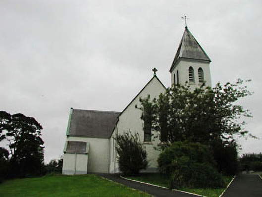 Saint Joseph's Catholic Churchchurch/chapel · 1719 yd
 Colbinstown Castle (in Ruins)Castle, unclassified · 1.7 mi
 Site of Fair GreenForest · 1.8 mi
 Memorial to 1798 rebellionMonument · 2.4 mi
 Battle of Kilrushbattle · 4.3 mi
 Ballyhook HillMountain / peak · 5.1 mi
 Burtown House and GardensHeritage attraction · 6.2 mi