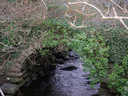
What is recorded here
Single-arch road bridge over Bungostee River, built c. 1770. Now out of use and overgrown with vegetation. Round-headed arch having roughly squared rubble stone voussoirs; rubble stone construction to arch barrel. Rubble stone construction to spandrels and parapets. Squared coursed rubble stone construction to spandrels and parapets. Located at the point where Bungostee River discharges into Killybegs harbour. Later bridge adjacent to the south (see 40909101), now superseded by modern bridge and embankment over Killybegs Harbour to the south. Located to the north-east of Killybegs.
This modest single-arch bridge retains its early form and character, and is an interesting feature in the landscape at the point where the Bungostee River discharges into Killybegs Harbour. Although long out of use, it is robustly-constructed in local rubble stone masonry, and its continued survival is testament to the quality of its original construction. This bridge was superseded by a later bridge adjacent to the south (see 40909101), which in turn has been by a modern bridge and embankment further to the south. The rather crude and utilitarian nature of this bridge contrasts with the more refined stonework found at its later neighbour to the south. This bridge originally carried the main road from Donegal Town to the important harbour at Killybegs and is probably of considerable antiquity, perhaps dating to the mid-eighteenth century or maybe even earlier (a road and bridge is indicated somewhere near this point on Moll’s map of Ireland dated 1714, and on the Taylor and Skinner Map of the area from 1777 – 1783). This simple bridge is an integral element of the built heritage and transport history of the Killybegs area, and is an appealing feature in the local landscape.
This does not grant access. Most recorded buildings are privately owned; view them only from public ground unless the owner allows entry.
Places near here
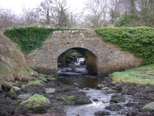 The Lough Head Bridgebridge · 18 yd
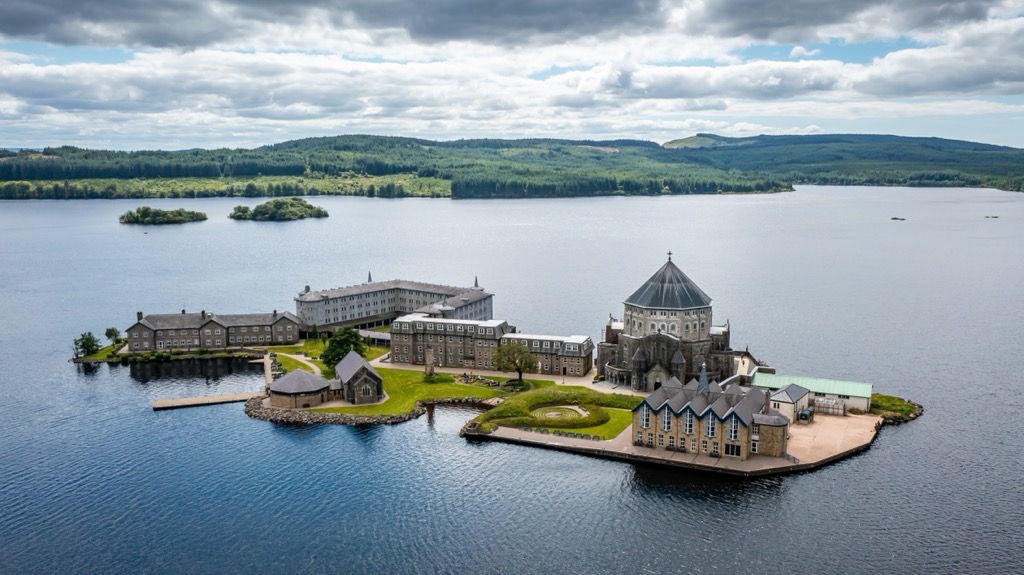 Corporation Stone RingfortFairy fort / stone ringfort · 758 yd
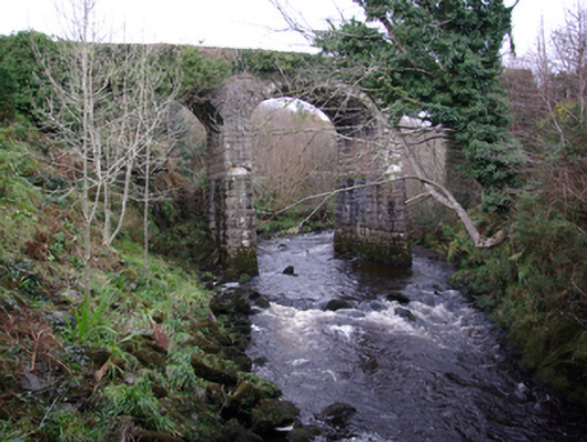 bridgebridge · 1033 yd
 Cashelreagh Glebe Hilltop Stone FortFairy fort / stone ringfort · 1.1 mi
 Bawn in KillybegsBawn · 1.4 mi
 European BeechEuropean Beech · 1.5 mi
 Cat CastleCastle, tower house · 1.7 mi
 Wych ElmWych Elm · 1.9 mi
 Rashenny PointHeadland · 2.1 mi
 Killaghtee Old Church GraveyardGraveyard · 2.5 mi
 Rotten IslandIslet · 2.6 mi
 Carntullagh HeadHeadland · 2.6 mi
Other information
Photo: National Inventory of Architectural Heritage · Website use allowed for educational or private purposes with source credit