What is recorded here
Situated on a small steep natural hillock in undulating grassland, with good views in all directions. Ringfort (WM013-078----) 35m to SE. Present remains consist of a sub-circular raised area (approx. diam. 20m NW-SE; 22m NE-SW) enclosed by a poorly preserved earthen bank with shallow external fosse. The bank has been reduced to a scarp from NE-S. The fosse is visible from NW-N and from S-W. There is a possible entrance gap (Wth 1.8m) at E. The interior rises slightly towards the centre where the grass covered wall footings of a hut site (WM013-077001-) are visible.
See attached profile of monument surveyed and drawn by the ASI.
Compiled by: Frank Coyne and Caimin O'Brien
Date of upload: 23 July 2018
The monument record does not grant public access. Check the route and ask the landowner before entering private land.
- What survives
- Recorded monument
Places near here
 Hachured, RathmoreFairy fort / earthen ringfort · 612 yd
 IndicatedFairy fort / earthen ringfort · 654 yd
 Chapel in ruinsChapel · 1131 yd
 OutlinedCastle, unclassified · 1134 yd
 Church in ruinsChurch · 1214 yd
 Site of Fennor CastleCastle, tower house · 1611 yd
 GinkgoGinkgo · 1.6 mi
 KnockeyonMountain / peak · 5.0 mi
 The FurzeForest · 5.5 mi
 Kells HillMountain / peak · 8.4 mi
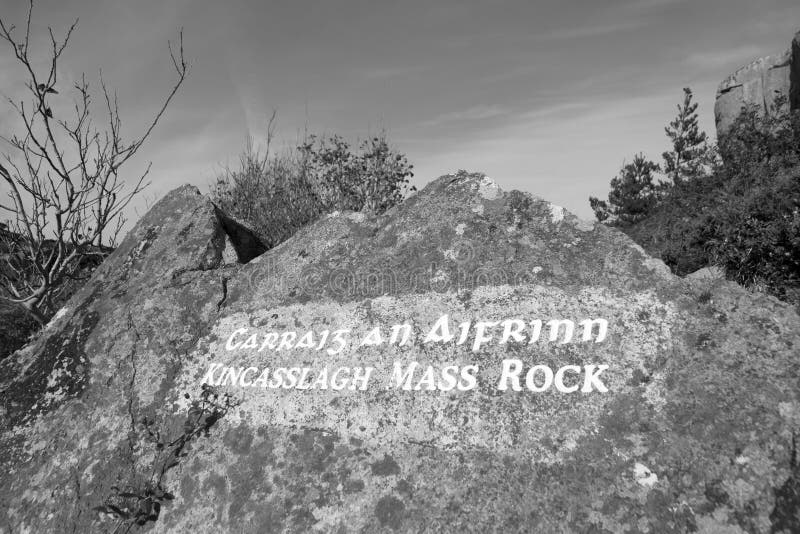 Mass-rock in TevrinMass-rock · 1151 yd
 Ecclesiastical enclosure in CrosserdreeEcclesiastical enclosure · 1217 yd