What is recorded here
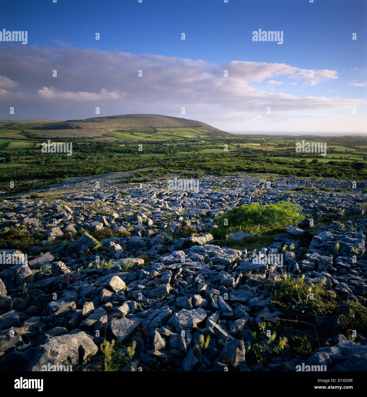
Situated in an area of rock outcrop and scrub. Listed as ‘Burial, possible’ in the RMP (1996). Indicated on a set of annotated maps in 1994 (pers. comm. T. Coffey, SMR file). On inspection in 1999 this was found to consist of two unused limestone headstones. The more regular one (2.08m x 0.95m; T 0.09-0.12m) lies to the W and is set on a few loose stones. It does not appear to mark a burial. The second slab (1.95m x 0.81m; T 0.17m) is 3m to the E. They are likely to have been intended for use elsewhere and were probably hewn from the rock in the 18th century as was a similar slab (with inscription) (CL010-237----) 60m to WSW. There are other graveslab quarries in the area, CL010-238---- is c. 50m to SW while another (CL010-213----) is some 500m to SW.
The following image has been uploaded:
CL010-131----_01.jpg View of two slabs from E.
Compiled by: Mary Tunney
Date of upload: 22 March 2016
The monument record does not grant public access. Check the route and ask the landowner before entering private land.
- What survives
- Recorded monument
Places near here
 Templecronan (in ruins)Church · 331 yd
 CrossCross · 419 yd
 IndicatedFairy fort / earthen ringfort · 470 yd
 Castle (in ruins)Castle, unclassified · 1460 yd
 Saint Columba's Catholic Churchchurch/chapel · 1463 yd
 Castle in ruinsCastle, tower house · 1.2 mi
 Kilnaloone GraveyardArchaeological place · 2.1 mi
 PoulnabroneMemorial · 2.7 mi
 Farbrega RockNamed rock · 2.9 mi
 The Portal TombVisitor information · 3.4 mi
 Poulnabrone DolmenHeritage attraction · 3.4 mi
 Poulnabrone - Burren GeositeVisitor information · 3.4 mi