What is recorded here
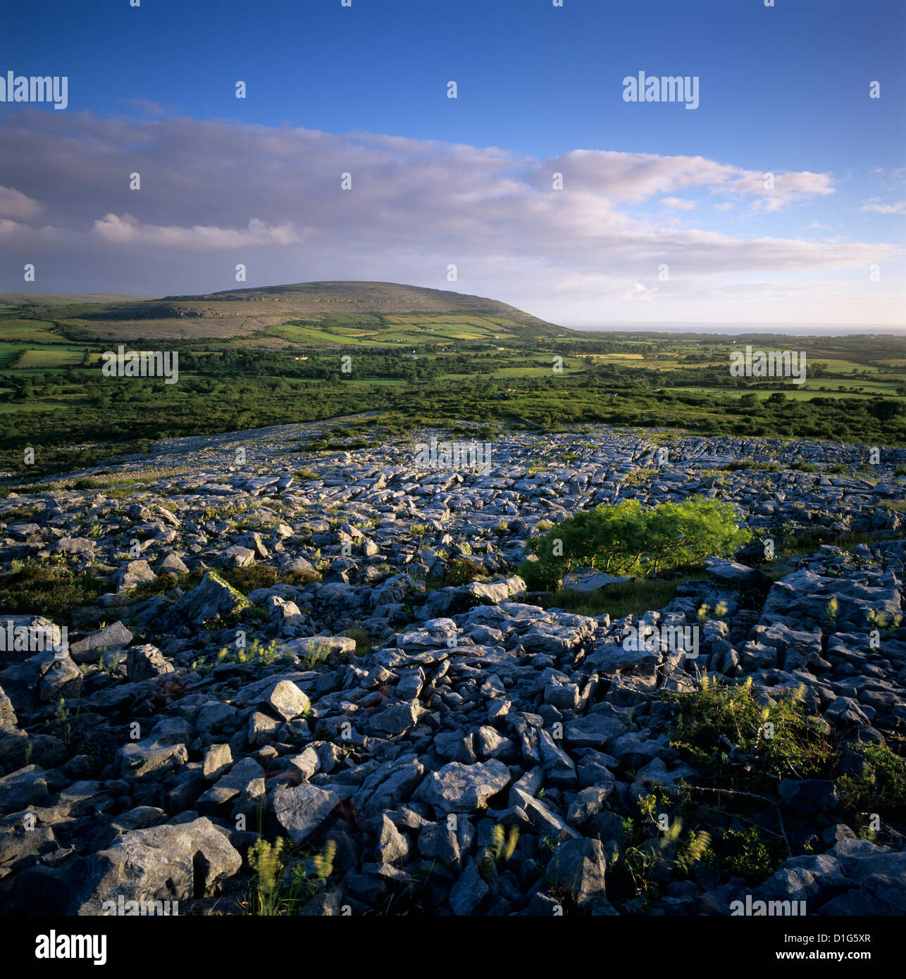
Classified as a fulacht fia in the RMP (1996) on the basis of Tom Coffey's annotated 6-inch map (1994) which is marked at this location. This is a fairly level, low-lying area that has been partly reclaimed as pasture. Some hummocks are visible in the pasture, but the precise location is not certain and burnt mound material could be in the vicinity in the reclaimed land or in the scrubland to the S.
Compiled by: Michael Moore
Date of upload: 21 January, 2014
The monument record does not grant public access. Check the route and ask the landowner before entering private land.
- What survives
- Recorded monument
Places near here
 IndicatedFairy fort / earthen ringfort · 355 yd
 CrossCross · 468 yd
 Templecronan (in ruins)Church · 497 yd
 Castle (in ruins)Castle, unclassified · 1085 yd
 Saint Columba's Catholic Churchchurch/chapel · 1090 yd
 Castle in ruinsCastle, tower house · 1.1 mi
 PoulnabroneMemorial · 2.5 mi
 Farbrega RockNamed rock · 2.7 mi
 The Portal TombVisitor information · 3.2 mi
 Poulnabrone DolmenHeritage attraction · 3.2 mi
 Poulnabrone - Burren GeositeVisitor information · 3.2 mi
 CaherconnellHeritage attraction · 3.3 mi