What is recorded here
No visible chamber remains in Teeskagh, only a pencil note on an 1842 map and a possible identity with the local wedge tomb. That uncertainty is not a flaw; it is the shape of the place. Under grass, stone or forgotten ground, the dead may still be waiting for recognition.
Listed as Megalithic structure (possible) in the SMR (1992) but unlocated and not listed in the RMP (1996). The SMR listing is based on an annotated OPW copy of the first edition (1842) of the OS 6 inch map on which Teeskagh townland is outlined with ‘Possible Dolmen, cist’ written in pencil. This may, however, be a reference to the wedge tomb (CL010-064068-) in this townland.
Compiled by: Gearóid Conroy and Conn Herriott
Date of upload: 26 May 2023
The monument record does not grant public access. Check the route and ask the landowner before entering private land.
- What survives
- Recorded monument
Places near here
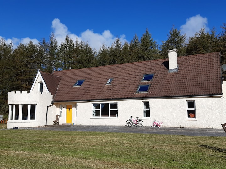 Enclosure in Clooncoose, TeeskaghEnclosure · 743 yd
 IndicatedFairy fort / stone ringfort · 774 yd
 Castle in ruinsCastle, tower house · 1.2 mi
 Correen R.C. Chapel (in ruins)Church · 1.3 mi
 Father Ted's HouseHeritage attraction · 1.3 mi
 Glenquin Housefarm house · 1.4 mi
 Burren National ParkVisitor information · 1.4 mi
 Castle (in ruins)Castle, unclassified · 1.6 mi
 Farbrega RockNamed rock · 2.0 mi
 Fergus River CaveCave · 3.2 mi
 PoulnabroneMemorial · 3.8 mi
 Inchiquin IslandIslet · 4.0 mi