What is recorded here
Indicated is a stone-faced ringfort in Mid Cork, its saucer interior choked with coniferous trees and marked by low western cairns. The south rim rises slightly to balance the sloping ground, suggesting human hands shaped the circle before forgetting its name.
In pasture, on S-facing slope. Circular raised area (44.8m N-S; 42.8m E-W) defined by stone-faced scarp (H 1.45m). Saucer-shaped interior planted with coniferous trees; raised on S side to compensate for hillslope; low cairns of stones W of centre.
The above description is derived from the published 'Archaeological Inventory of County Cork. Volume 3: Mid Cork' (Dublin: Stationery Office, 1997). In certain instances the entries have been revised and updated in the light of recent research.
Date of upload/revision: 14 January 2009
The monument record does not grant public access. Check the route and ask the landowner before entering private land.
- What survives
- Recorded monument
Places near here
 Man-made underground passage (Site of)Man-made underground passage · 532 yd
 Codrumcountry house · 845 yd
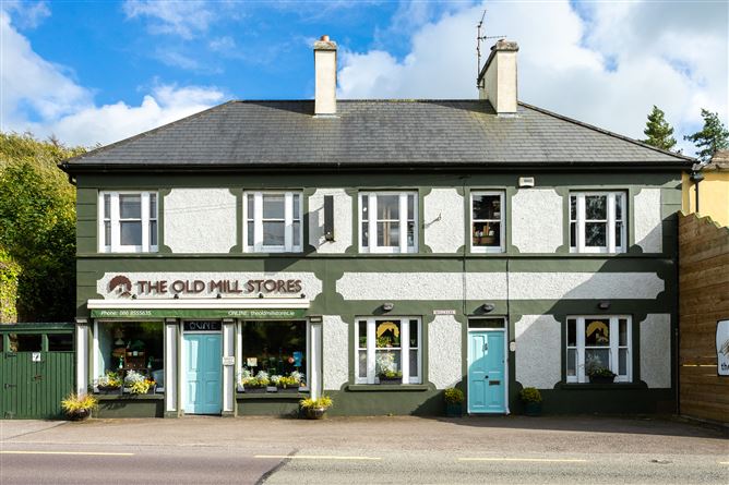 Old MillMill, unclassified · 849 yd
 Grave YdGraveyard · 1199 yd
 Neill's WoodWood · 1748 yd
 Curraheen WoodWood · 1.3 mi
 Macroom WalksVisitor information · 1.5 mi
 Carrigaphooca CastleCastle · 1.6 mi
 Macroom Castle (in Ruins)Castle, tower house · 1.6 mi
 Battle of Macroombattle · 1.8 mi
 Clonavrick CliffCliff · 3.0 mi
 BurrenMountain / peak · 4.7 mi