What is recorded here
In pasture, located at the NE end of a roughly E–W ridge, with extensive views to N-NE over Killala town and Killala Bay. The townland boundary lies immediately to NE.
Raised oval area (34m NW–SE; c. 27m NE–SW) defined by an earthen bank (Wth 3.6m at NW, 3m at SE; int. H 0.7m at NW, 0.25m at SW; ext. H 1.3m at NW, 1.5m at SE). The bank is low internally, and is largely reduced to a scarp at N–SE, where it coincides with the contours of a natural break of slope. There are two eroded breaks (Wth 0.4m and 0.8m) in the bank at NNW, where a cattle track enters the rath. The interior has a gentle slope down from the centre to the N-NE. A slightly raised area (diam. c. 4-5m) can be discerned in the SE quadrant, but its outline is not clearly defined, and its significance is unclear. There is a rath (MA022-090----) 250m to W.
Compiled by: Jane O'Shaughnessy
Date of upload: 10 June 2019
The monument record does not grant public access. Check the route and ask the landowner before entering private land.
- What survives
- Recorded monument
Places near here
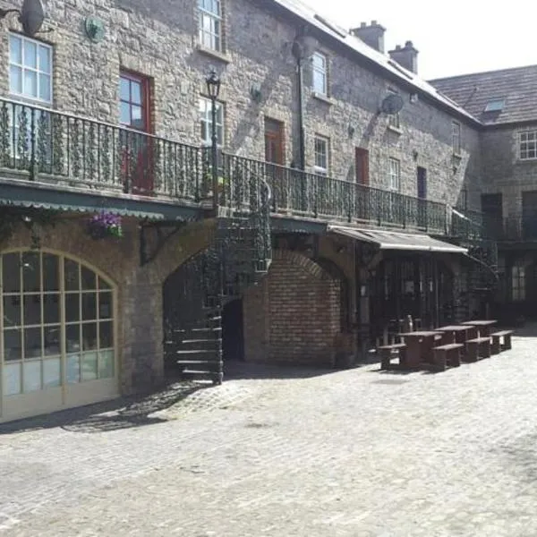 Enclosure in Tawnaghmore LowerEnclosure · 391 yd
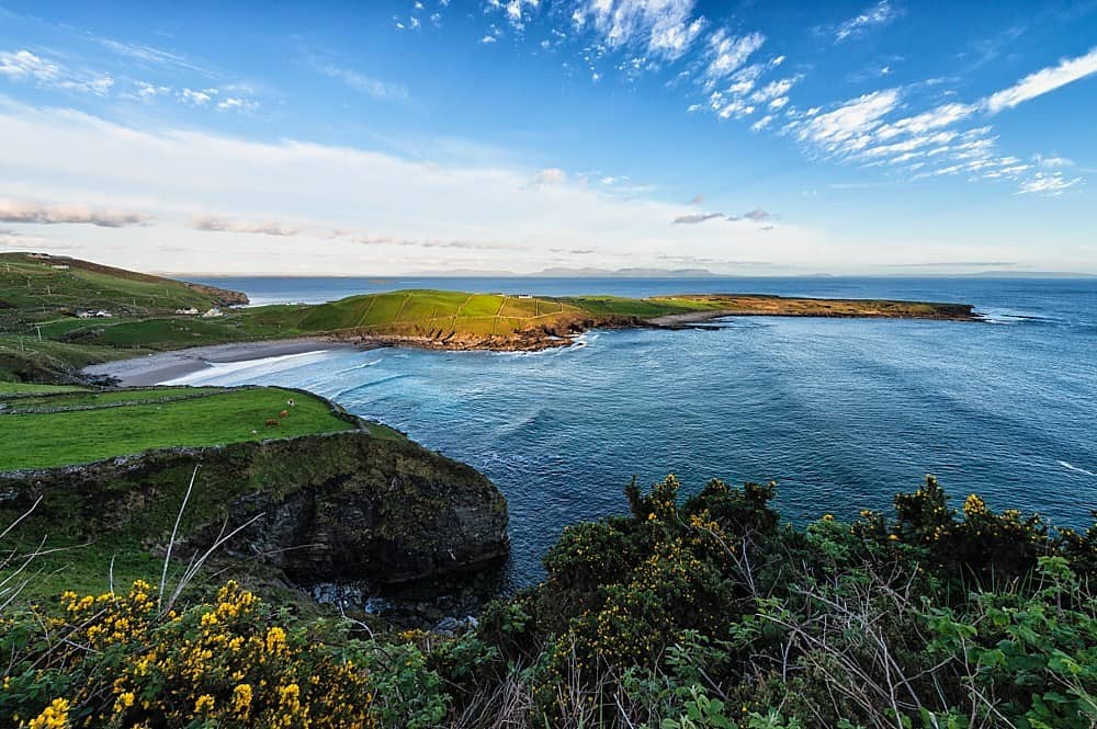 IndicatedFairy fort / earthen ringfort · 398 yd
 Bawn in Meelick (tirawley By.)Bawn · 629 yd
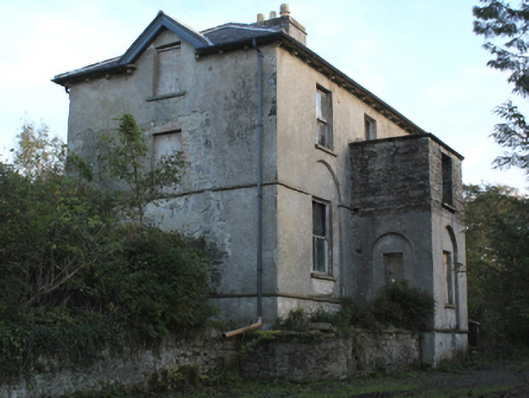 rectory/glebe/vicarage/curate's houserectory/glebe/vicarage/curate's house · 1117 yd
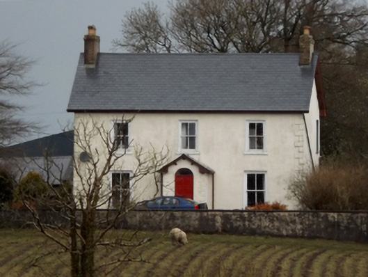 mansemanse · 1160 yd
 CastleCastle, unclassified · 1492 yd
 Battle of Killalabattle · 1581 yd
 Green IslandIslet · 1.2 mi
 Battlefields of MoyneBattlefield · 1.3 mi
 Moyne AbbeyHeritage attraction · 1.7 mi
 Rinnaun PointHeadland · 1.8 mi
 Bartragh IslandIsland · 2.2 mi