What is recorded here
Situated on the S edge of a low rise in rolling pasture near the shoreline of Ballysadare bay. Shown on the 1837 OS map as 'Cromleac' and on the 1913 edition as ' Cromlech'. This megalithic structure consists of six massive irregular-shaped boulders (average size: L 2.4m; Wth 1.2m; H 0.8m) enclosing a roughly pennanular space (c. 4.8m N-S by c. 4m E-W) open to S. Some of the boulders appear to rest on a slight pedestal of soil and stones. The date and significance of this arrangement of stones is unknown.
Compiled by: Jane O'Shaughnessy
Date of upload: 7 January 2020
The monument record does not grant public access. Check the route and ask the landowner before entering private land.
- What survives
- Recorded monument
Places near here
 Bawn in Tanrego WestBawn · 109 yd
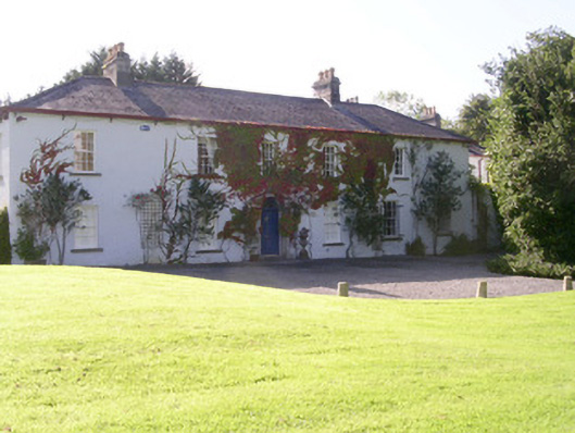 Tanrego Househouse · 194 yd
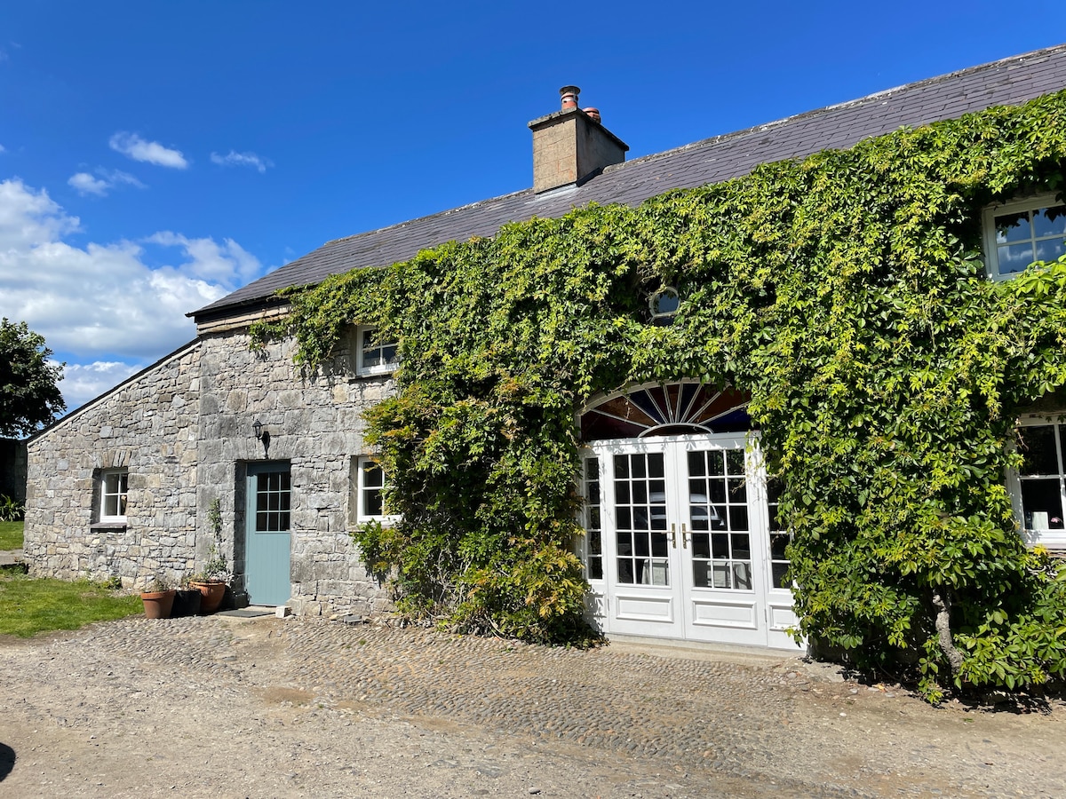 Enclosure in Tanrego WestEnclosure · 244 yd
 Carrowgarry Househouse · 709 yd
 IndicatedFairy fort / earthen ringfort · 736 yd
 Derinch PointHeadland · 1.1 mi
 Lahanacappul IslandIslet · 1.1 mi
 Ballinlig PointHeadland · 1.2 mi
 Giant's GraveArchaeological place · 1.5 mi
 CastleCastle, ringwork · 1.6 mi
 CulleenamoreBeach / strand · 1.9 mi
 European ashEuropean ash · 2.2 mi