What is recorded here
In 1985, a curving field boundary, comprising a slight earthen bank and a shallow external fosse (Wth 2m; D 0.4m), was traceable for c. 200m running N from the W end of the graveyard (KD010-014003-) and was interpreted as the possible remains of an early ecclesiastical enclosure (SMR file). This feature is no longer visible at ground level. (CUCAP 1970, BDV 38). However, geophysical survey (M. Byrne Unpublished MA thesis, NUI Maynooth, 2005) revealed the subsurface remains of a possible second, inner enclosure c. 65m N of the round tower (KD010-014002-) in the field named 'Glebe' on the 1st. ed. (1838) of the OS 6-inch map, which presents as a gently curving subsurface feature (L c. 60m E-W).
Compiled by: Gearóid Conroy
Date of upload: 10 June 2011
The monument record does not grant public access. Check the route and ask the landowner before entering private land.
- What survives
- Recorded monument
Places near here
 IndicatedEcclesiastical site · 1 yd
 Church (in Ruins)Church · 21 yd
 Round TowerRound tower · 32 yd
 Maguire's WoodWood · 500 yd
 Cocked Hat WoodWood · 692 yd
 Andrew FayMemorial · 1755 yd
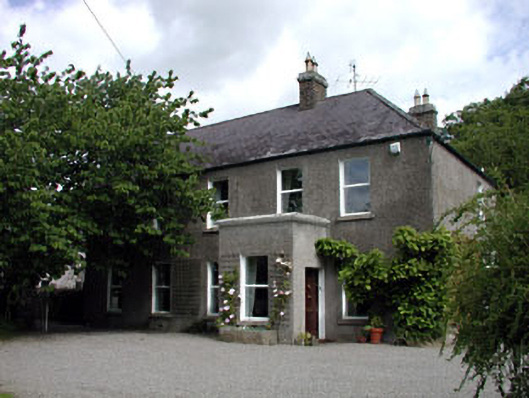 Windgates Househouse · 1.1 mi
 Joseph McCormackMemorial · 1.2 mi
 National Science MuseumMuseum · 1.8 mi
 Maynooth University South CampusHeritage attraction · 1.9 mi
 CastleCastle, Anglo-Norman masonry castle · 2.0 mi
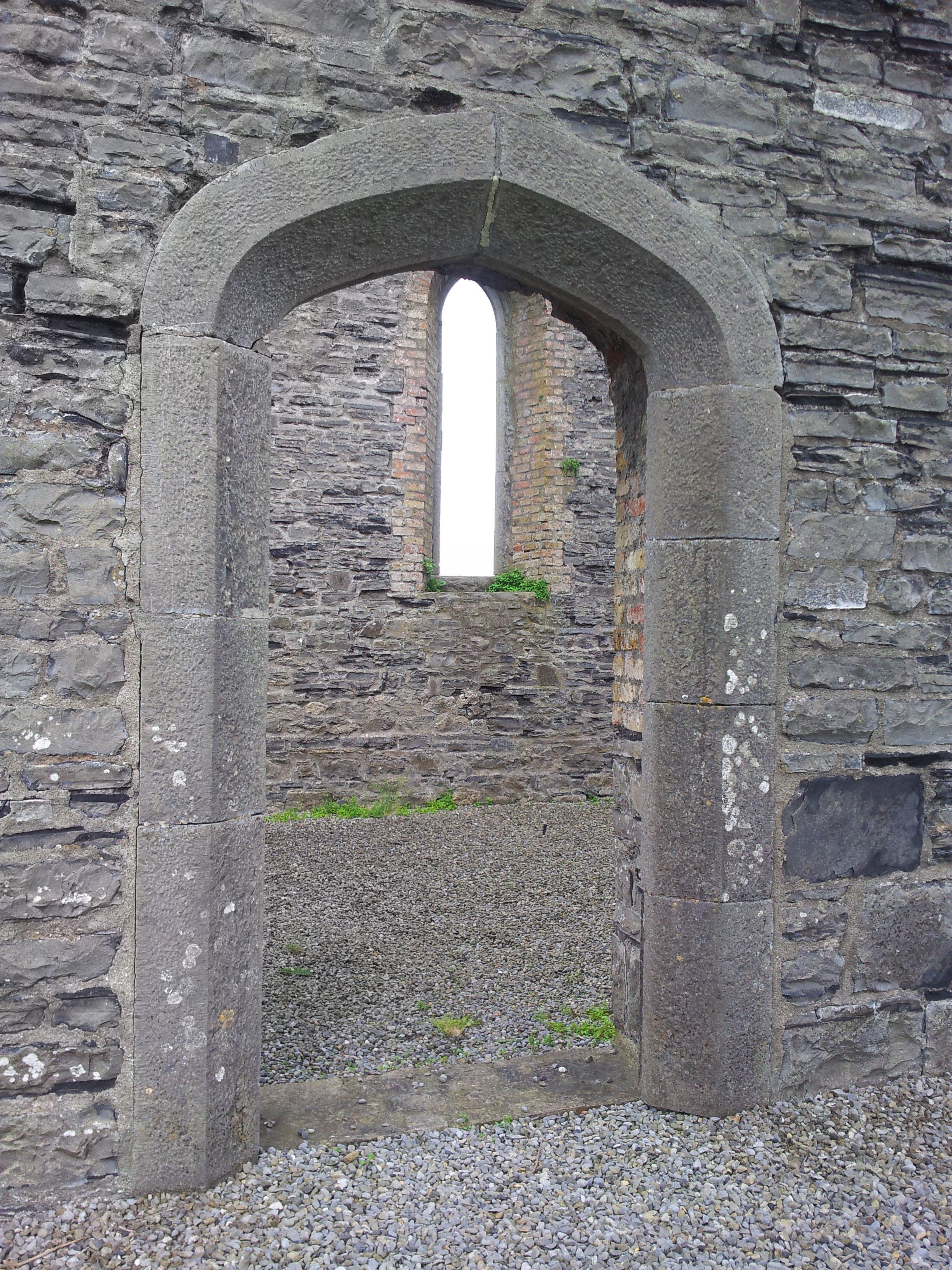 Enclosure in TaghadoeEnclosure · 906 yd