What is recorded here
An aerial photograph taken by Fairey Survey of Ireland in 1971 (3525/6) shows two roughly rectangular, conjoined enclosures with fields attached. This may be the remains of one of the dwellings marked on the Down Survey (1655-6) map at this location. Not visible at ground level.
Compiled by: Geraldine Stout
Updated by: Christine Baker
Date of upload: 03 January 2015
The monument record does not grant public access. Check the route and ask the landowner before entering private land.
- What survives
- Recorded monument
Places near here
 Freedagh MoatCastle, motte · 934 yd
 Motte (site of)Earthwork · 966 yd
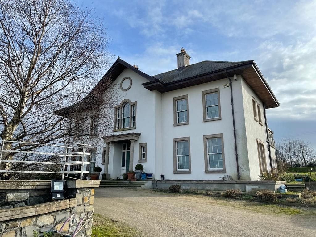 Kilcoskan HouseHouse, 16th/17th century · 1136 yd
 MoatEarthwork · 1183 yd
 RoadRoad, road/trackway · 1238 yd
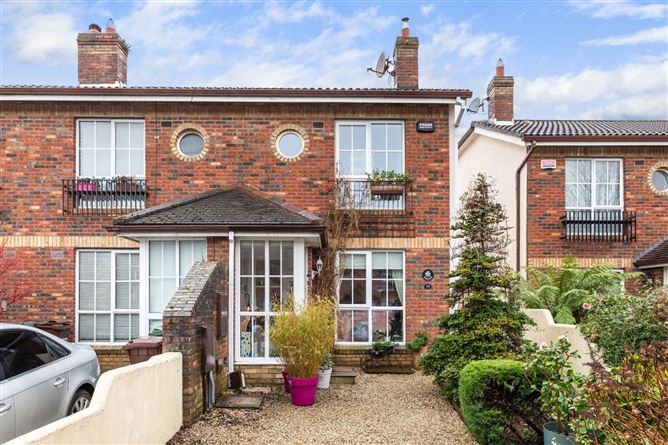 CastleCastle, tower house · 1277 yd
 Graveyard in KillosseryGraveyard · 1.4 mi
 St Cronans WellSpring · 2.6 mi
 The JackoWood · 2.8 mi
 Kim Archibold MemorialMemorial · 2.9 mi
 Wooly Ward's FarmHeritage attraction · 3.1 mi
 Horizon Logistics ParkVisitor information · 3.3 mi