
What is recorded here
A large spread (L 15m min.; Wth 1.3m; D 0.1m) of roundwoods and brushwood orientated E-W on the field surface. A single piece projects from the field surface at an angle of 90° and may represent a peg although the overall appearance of the site does not suggest the presence of a definitive structure. Outlying pieces of worked wood extended some 3m either side of the main distribution. Tear and toolmarks are noted but sawmarks may indicate that the deposit is modern. Recorded by the Irish Archaeological Wetland Unit (University College, Dublin) in 1993. The evidence is not sufficient to warrant its acceptance as the remains of an archaeological monument.
The original survey description was compiled by the Irish Archaeological Wetland Unit (University College, Dublin). Assessed and revised by: Caimin O'Brien, Paul Walsh
Date of upload: 23 May 2011
The monument record does not grant public access. Check the route and ask the landowner before entering private land.
- What survives
- Recorded monument
Places near here
 StructureStructure, peatland · 235 yd
 Enclosure in CastlearmstrongEnclosure · 262 yd
 RoadRoad, class 1 togher · 297 yd
 Castle ArmstrongHouse, fortified house · 482 yd
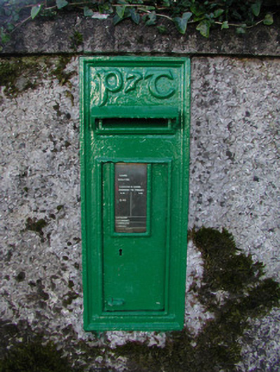 post boxpost box · 1015 yd
 Lemanaghan CastleCastle, tower house · 1.7 mi
 European ashEuropean ash · 1.7 mi
 Inchaloon IslandIslet · 2.5 mi
 Cocta HillMountain / peak · 3.6 mi
 Clara Bog BoardwalkHeritage attraction · 4.2 mi
 Saint Reaghan's WellSpring · 4.7 mi
 Ballylin Bog BoardwalkHeritage attraction · 5.0 mi
Other information
Photo: Credit not shown in the picture search · Rights wording not checked; contact us if this picture should be removed