
What is recorded here
The site (L 399.43m; Wth 0.51m; D 0.21m) is orientated N-S and consists of a substructure of longitudinal and transverse planks upon which rests a superstructure of single, longitudinal planks. The superstructure (Wth 0.5m) is one plank deep. The substructure (Wth 1.16m) is typically two planks deep. In parts, the substructure also includes some roundwoods. Some of the planks contain mortices but no pegs were observed in situ. The planks are constructed from oak. The site has produced a dendrochronological date of AD 665±9 (Q9253).
Excavations in 1996 (96E150; Bermingham 1996) revealed additional substructural support in an area of a shallow bog pool. This consisted of a greater concentration of roundwoods and planks held in place by long pegs, with strips of oak bark and a quantity of woodchips filling in the pool. Further oak timbers retrieved from the excavation yielded dendrochronological dates of AD 684±9 (Q9279) and AD 667±9 (Q9280).
Compiled by: Irish Archaeological Wetland Unit (University College Dublin).
Date of upload: 23 May 2011
The monument record does not grant public access. Check the route and ask the landowner before entering private land.
- What survives
- Recorded monument
Places near here
 StructureStructure, peatland · 381 yd
 Enclosure in CastlearmstrongEnclosure · 468 yd
 Castle ArmstrongHouse, fortified house · 779 yd
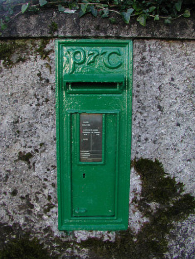 post boxpost box · 1274 yd
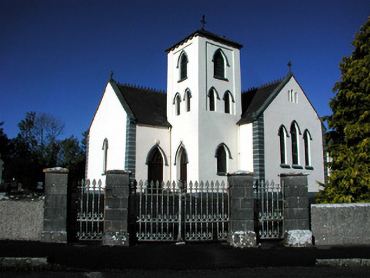 Saint Manchin's Catholic Churchchurch/chapel · 1319 yd
 Lemanaghan CastleCastle, tower house · 1.6 mi
 European ashEuropean ash · 1.6 mi
 Inchaloon IslandIslet · 2.5 mi
 Cocta HillMountain / peak · 3.4 mi
 Clara Bog BoardwalkHeritage attraction · 4.1 mi
 Roughan HillMountain / peak · 4.2 mi
 ToberaskeenSpring · 4.4 mi
Other information
Photo: Credit not shown in the picture search · Rights wording not checked; contact us if this picture should be removed