What is recorded here
Situated on the S bank of a NW-SE section of the Blackwater River and c. 100m NW of the site of St Mary’s Augustinian abbey (ME025-024----). Archaeological testing (98E0463) by N. Brady uncovered fragments of post-medieval structures dated by a collection of potsherds, three copper coins and a fragment of an inscribed finger-ring dating to the early to mid-seventeenth century (excavations.ie 1998:498). The structures were utilised in the period between the Suppression of St Mary’s in 1540 and the conversion of the abbey into a cavalry barracks c. 1700. A small excavated area (dims c. 10m x c. 10m) uncovered a double-faced clay-bonded wall (Wth 1.1m; L 2m plus) that turned S (L 1m plus) at its W end but both walls petered out. There was a metalled surface (diam. c. 1m) just to the N of the E-W wall and two copper coins dated 1601 and a bone die were associated with this structure. (Brady 1999, 11-12)
Compiled by: Michael Moore
Date of upload: 29 March 2023
Brady, N. 1999 Archaeological Excavation at Abbeyland South, Archaeological recording at Blackcaslte Demesne, Navan Inner Relief Road. Phase 2A. Licence: 98E0463. Unpublished report, Valerie J. Keeley Archaeological Consultancy.
The monument record does not grant public access. Check the route and ask the landowner before entering private land.
- What survives
- Recorded monument
Places near here
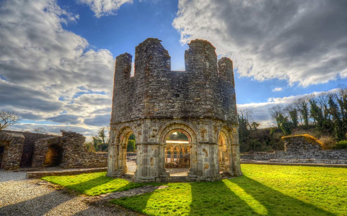 Burnt spread in Abbeyland SouthBurnt spread · 1 yd
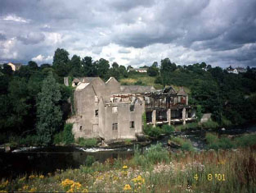 mill (water)mill (water) · 86 yd
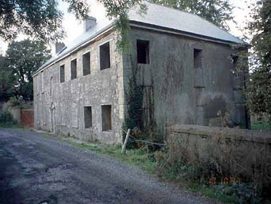 Blackwater Househouse · 88 yd
 Font in Abbeyland SouthFont · 148 yd
 The RampartWood · 644 yd
 CastleCastle, motte · 1148 yd
 Nangle CourtMemorial · 1238 yd
 Blackcastle DemesneWood · 1.4 mi
 Donaghmore Round TowerHeritage attraction · 1.4 mi
 Rathaldron Ho.Castle, tower house · 1.6 mi
 Carn HillMountain / peak · 2.6 mi
 BohermeenMountain / peak · 3.6 mi