What is recorded here
Standing stone in Straths is a 1.07m high, 1.83m wide stone set north-south on pasture land in County Donegal, Ireland. It may have marked a boundary, a burial, a meeting place or a warning, because people have long used stones to hold memory when tongue and text fail. Its broad base and quiet slope suggest it still does that work, waiting for someone to notice what it has been holding back.
A standing stone 1.07m high × 1.83m wide at base; N-S. Situated on pasture land sloping slightly down to N.
The above description was derived from the 'Archaeological Survey of County Donegal. A description of the field antiquities of the County from the Mesolithic Period to the 17th century.' Compiled by: Brian Lacey with Eamon Cody, Claire Cotter, Judy Cuppage, Noel Dunne, Vincent Hurley, Celie O'Rahilly, Paul Walsh and Seán Ó Nualláin (Lifford: Donegal County Council, 1983). In certain instances the entries have been revised and updated.
Date of upload: 22 September 2008
The monument record does not grant public access. Check the route and ask the landowner before entering private land.
- What survives
- Recorded monument
Places near here
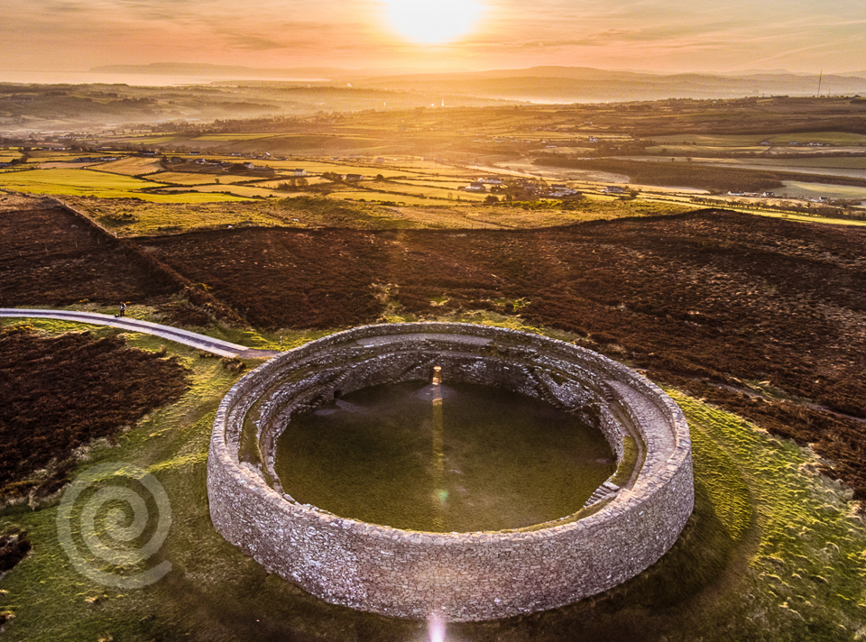 Former Altashane / Cabadooey Fairy FortFairy fort / ringfort · 1594 yd
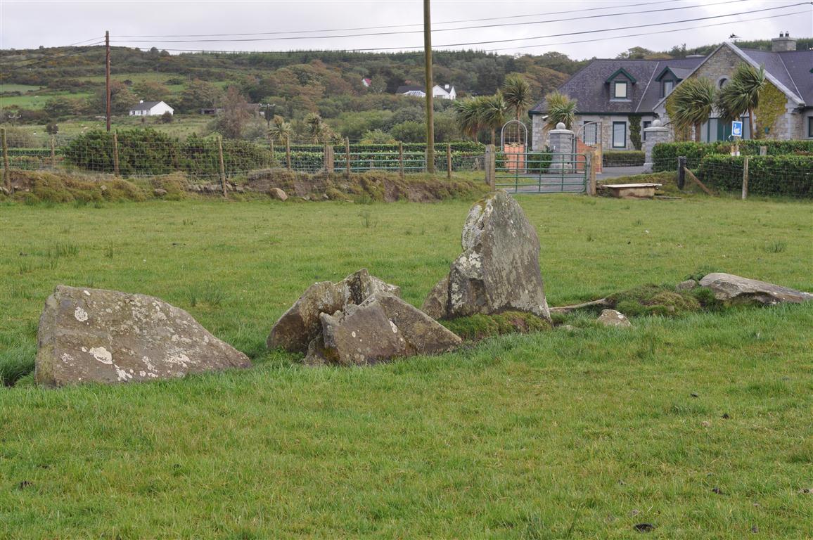 Rashenny Burial near the Standing StoneBurial · 1693 yd
 railway stationrailway station · 1.2 mi
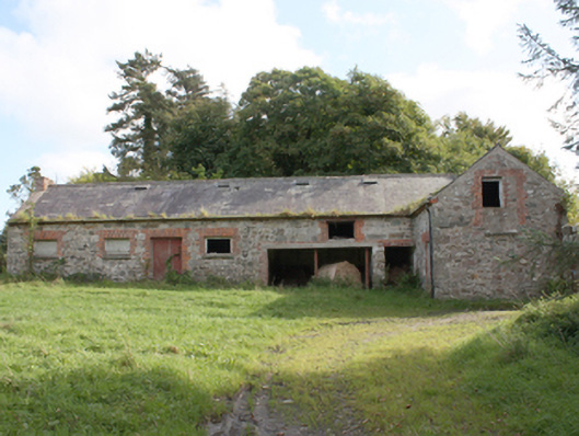 Donagh Church of Ireland Rectoryoutbuilding · 1.4 mi
 Dough Famine VillageHeritage attraction · 2.2 mi
 Doagh Famine VillageMuseum · 2.2 mi
 CastleCastle, unclassified · 2.5 mi
 Carndonagh Early Church GraveyardGraveyard · 2.7 mi
 Five Finger StrandBeach / strand · 2.9 mi
 Lag GraveyardGraveyard · 3.0 mi
 Bawn in CarrickabraghyBawn · 3.3 mi
 Glashedy IslandIslet · 4.2 mi