What is recorded here
In pasture on the level W-shoulder of a low ridge. An overgrown roughly circular area (int. diam. 24m) has been much disturbed (as depicted on the OS 25-inch map of 1893) and is enclosed by the remains of an ivy-covered bank (int. H 0.3-0.8m; Wth 5m; ext. H 1.3m) which only survives at NW and SE and which has been reduced to a scarp (H 2m) at SW. A later lime kiln stands on or close to the line of the original enclosing bank at N. The enclosing bank and interior area at NE have been dug away to a depth of c. 1.5m, as has portion of the W interior (L 6m; Wth 6m; D 1.5m).
Date of visit: 13-05-2025
Compiled by: Gearóid Conroy
The monument record does not grant public access. Check the route and ask the landowner before entering private land.
- What survives
- Recorded monument
Places near here
 IndicatedFairy fort / earthen ringfort · 861 yd
 Ashbrook Housefarm house · 1480 yd
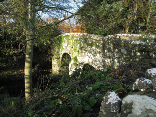 bridgebridge · 1576 yd
 Michael DavittMemorial · 1634 yd
 Laughkeeraun WellHoly well · 1.3 mi
 Castle (in Ruins)Castle, motte · 1.6 mi
 Corraun CastleCastle · 1.7 mi
 Oak WoodWood · 3.4 mi
 National Museum of Ireland, Country LifeMuseum · 3.7 mi
 Sunken GardenWood · 3.8 mi
 Thorn CaveCave · 6.1 mi
 I'll Send You The FareMemorial · 6.6 mi