What is recorded here
In pasture, on an E-facing slope amidst rock outcrops. A roughly circular area (diam. 17m x 18m) enclosed by 25 almost contiguous stones. The stones range in size from 0.95m x 0.45m to 1.3m x 2m. Most are bedded on their sides though a few of the smaller ones are upright. Several gaps were noted between the stones. The interior is raised slightly on the E side to compensate for the hillslope. Three flat sod-covered slabs were noted in the interior. The townland boundary between Cabragh and Garoke bisects the kerb circle on a NE-SW axis, six of the stones being on the SE side of the boundary.
The above description is derived from the published 'Archaeological Inventory of County Sligo' compiled by Ursula Egan, Elizabeth Byrne, Mary Sleeman with Sheila Ronan and Connie Murphy (Dublin Stationery Office, 2005).
Date of upload: 18 January 2008
The monument record does not grant public access. Check the route and ask the landowner before entering private land.
- What survives
- Recorded monument
Places near here
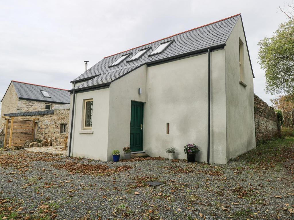 Hut site in Cabragh (tirerrill By.)Hut site · 800 yd
 Giants GraveArchaeological place · 867 yd
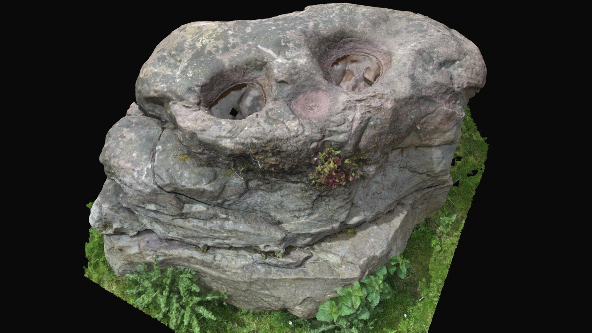 Enclosure in BullaunEnclosure · 897 yd
 Barroe NorthMountain / peak · 1123 yd
 Shancough Church (in Ruins)Church · 1342 yd
 IndicatedKiln, lime · 1.1 mi
 Ballindoon Castle (in Ruins)Castle, unclassified · 1.5 mi
 Geevagh Prisoners 1908 MemorialMemorial · 1.7 mi
 Loughbrick BayBay · 2.1 mi
 InishmoreIslet · 2.1 mi
 TumulusCastle, motte · 2.2 mi
 Annaghgowla IslandIslet · 2.4 mi