What is recorded here
Said to be known locally as the 'Long Man's Bed' (Mac Ivor 1956, 406-7), it is marked as a double ditch on the 1835 'OS 6-inch' map. Inspection in 1966 suggests it is a laneway defined by a modern road fence at the S and another older earth and stone bank just N of it.
Compiled by: Claire Breen
Date of upload: 19 June 2012
The monument record does not grant public access. Check the route and ask the landowner before entering private land.
- What survives
- Recorded monument
Places near here
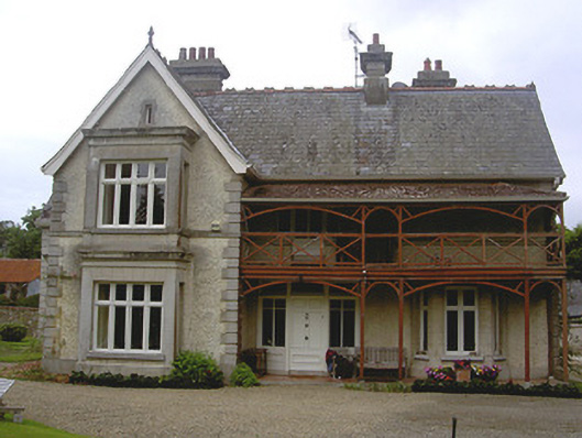 Stickillin Househouse · 618 yd
 Stickillin Church (in ruins)Church · 661 yd
 Graveyard in StickillinGraveyard · 661 yd
 IndicatedHoly well · 767 yd
 Fulacht fia in BroadloughFulacht fia · 984 yd
 Dawsons MoatCastle, motte and bailey · 1056 yd
 The LissCastle, motte · 1.1 mi
 Sir Frederick Foster MemorialMemorial · 1.3 mi
 European White ElmEuropean White Elm · 1.5 mi
 Lebanon CedarLebanon Cedar · 1.5 mi
 Mount OrielMountain / peak · 4.4 mi
 Black HillMountain / peak · 5.2 mi