What is recorded here
In pasture, located on the W fringes of an expanse of wet ground that occupies a natural terrace on a SE-facing ridge slope. To NW the ground rises steeply to a ridge that dominates the skyline.
This fulacht fia is evident as a sod-covered, roughly crescent-shaped mound (10.5m N-S; c. 5-6m E-W; H 0.35m) which curves around a possible trough area on its the E side. It is composed of a dense concentration of stone fragments in black soil. Shorter grass growth and fewer rushes distinguish it from the surrounding field.
A burnt mound (MA015-082----) is located 150m to SW, and there is a cluster of fulachtai fia/burnt mounds (MA015-084001- to MA015-084004-) c. 85m to N.
Compiled by: Jane O’Shaughnessy
Date of upload: 13 December 2018
The monument record does not grant public access. Check the route and ask the landowner before entering private land.
- What survives
- Recorded monument
Places near here
 Enclosure in SteelaunEnclosure · 339 yd
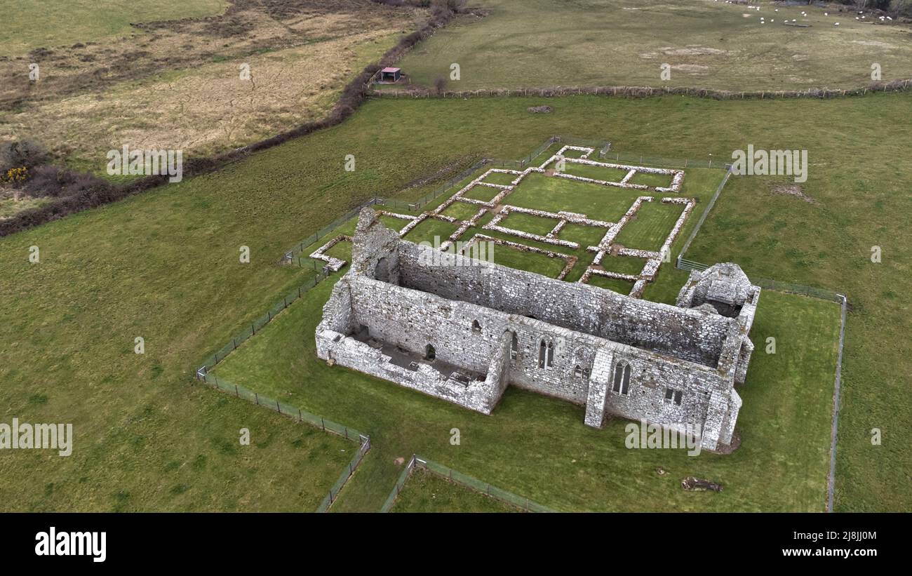 Enclosure in RathfranEnclosure · 610 yd
 farm housefarm house · 911 yd
 CastlenageehaCastle, unclassified · 1219 yd
 Summerhill Housecountry house · 1442 yd
 TrabaunBeach / strand · 1524 yd
 French Landing 1798Memorial · 1.9 mi
 Rinnaun PointHeadland · 1.9 mi
 CastleCastle, unclassified · 2.2 mi
 Green IslandIslet · 2.3 mi
 Battle of Killalabattle · 2.5 mi
 Battlefields of MoyneBattlefield · 3.4 mi