What is recorded here
About 1840 men removed the last stones of the Magdalen chapel and planted trees across its graveyard, burying the dead beneath green growth instead of marking them with brass. They believed they were improving Gowran, but they were only changing the shape of the wound. When a thunderstorm broke the trees open decades later, skeletons came into the light, proving that the town had not forgotten the place, only stopped naming it.
A triangular area (dims. c. 60m NE-SW; max. c. 43m NW-SE at NE end) located c. 50m NE of the former ‘Magdalan Gate’ at the E end of Gowran town and indicated as, ‘Church (Site of)’ on the 1900 revision of the OS 6-inch map. According to Carrigan (1905, vol. 3, 410), the Magdalen or medieval hospital (KK020-060011-) was, ‘just outside the town wall. About 1840 the remains of the chapel [KK020-060012-] attached to this Magdalen were removed and trees planted on the site. The exact spot occupied by the chapel is the angle formed by the public roads to Bagnalstown and Goresbridge, at their point of divergence opposite the pike house’.
During a thunderstorm in the 1960s/70s a number of trees were uprooted revealing skeletons underneath (pers. comm. Mary Moran, 6 July 1992). There are trees and scrub growing in the wider portion of the triangular area which is defined by a stone wall on both roadsides, while the narrower SW portion is under grass and is defined by chains hung between bollards. There are no headstones or grave-markers visible.
Compiled by: Jean Farrelly
Date of upload: 25 March 2021
The monument record does not grant public access. Check the route and ask the landowner before entering private land.
- What survives
- Recorded monument
Places near here
 CrossCross, Market cross · 253 yd
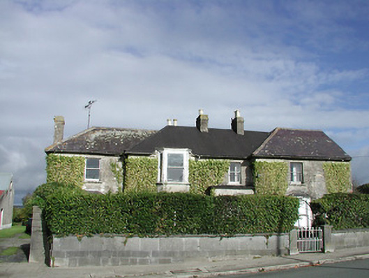 Gowran Househouse · 255 yd
 Gowran Courthousecourt house · 292 yd
 Castle (Site of)Castle, unclassified · 310 yd
 IndicatedTown defences · 474 yd
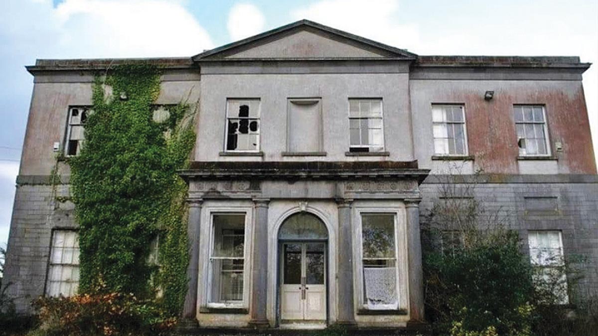 Bawn in Gowran DemesneBawn · 997 yd
 HawthornHawthorn · 3.3 mi
 The Pey FieldForest · 3.5 mi
 Tullaherin Church and Round TowerVisitor information · 4.7 mi
 St. Mogarra’s WellSpring · 4.7 mi
 Kilbline GraveyardArchaeological place · 5.6 mi
 Time CapsuleMemorial · 5.8 mi