What is recorded here
Located in a clearing in a coniferous forest on a broad plateau on the E side of Kilcalf Mountain. Marked as a possible megalithic structure on a 1716 Bateman map (NLI, MSS 6148-9). Two stones (L 2.85m and 3.3m) are now lying prone, side by side. It may be the structure described as a 'cistvaen' known as Leaca-na-tSusa (Power 1909, 80).
Power, Rev. P. (1909b) Another ogham discovery in Co. Waterford. WAJ, vol. 12, 76-80.
The above description is derived from the published 'Archaeological Inventory of County Waterford' (Dublin: Stationery Office, 1999). In certain instances the entries have been revised and updated in the light of recent research.
Revised by: Michael Moore.
Date of upload: 25 November 2011.
Probably dating to the Neolithic or Bronze Age, the pair of standing stones at Kilcalfmountain may have functioned as a ritual or ceremonial alignment, possibly linked to astronomical observations or territorial markers. Local folklore sometimes associates such stone pairs with ancient pathways or fairy traditions.
The monument record does not grant public access. Check the route and ask the landowner before entering private land.
- What survives
- Recorded monument
Places near here
 Kilcalf Housegates/railings/walls · 352 yd
 Enclosure in LoughnatouseEnclosure · 1.1 mi
 Enclosure in Lyre MountainEnclosure · 1.2 mi
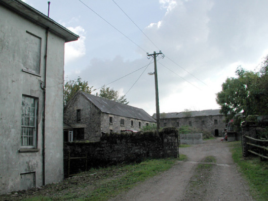 Kilmore Housefarmyard complex · 1.6 mi
 CastleCastle, unclassified · 3.0 mi
 Lisfinny CastleCastle · 3.3 mi
 Tallow HillMountain / peak · 3.7 mi
 Salt HillMountain / peak · 3.9 mi
 Graveyard in Curraheen (kinnatalloon By.)Graveyard · 4.6 mi
 Bishopstown WoodForest · 4.6 mi
 Leahy's Open FarmHeritage attraction · 4.7 mi
 Castlebrook forestWood · 5.0 mi