What is recorded here
In pastureland just off the crest of a low ridge. Aligned N-S and 2m apart. Both stones are of granite and subrectangular in plan. The N stone is broken in two (H c. 1m); S stone (H 1.4m). There is a standing stone (GA022-099----) further downslope to SE (Ó Nualláin 1988, 197).
The above description is derived from the published 'Archaeological Inventory of County Galway Vol. I - West Galway'. Compiled by Paul Gosling (Dublin: Stationery Office, 1993).
Date of upload: 05 August 2010
Likely dating to the Late Neolithic or Bronze Age, the paired stones may have functioned as markers for territorial boundaries, ritual sites, or astronomical alignments. No specific folklore is recorded, though such pairs are often associated with ancestral or spiritual significance in early Irish traditions.
The monument record does not grant public access. Check the route and ask the landowner before entering private land.
- What survives
- Recorded monument
Places near here
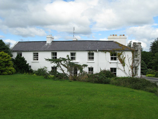 Crocknaraw Househouse · 511 yd
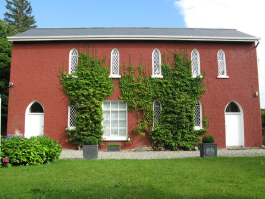 The Old School Houseschool · 649 yd
 ToberdavinHoly well · 1759 yd
 St. Canannaghs WellHoly well · 1.1 mi
 DerrylahanMountain / peak · 1.2 mi
 RoeillaunIslet · 1.5 mi
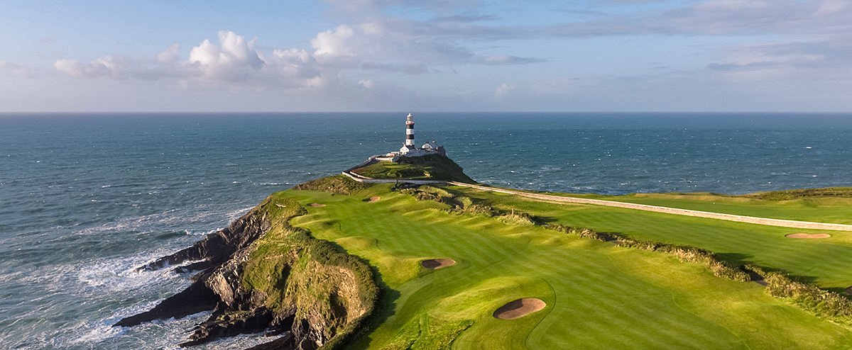 Freaghillaun SouthMountain / peak · 2.5 mi
 GlassillaunIslet · 2.6 mi
 Connemara National Park Visitor CentreHeritage attraction · 2.7 mi
 Connemara National ParkNational park · 2.7 mi
 Bawn in Doon (ballynahinch By.)Bawn · 3.9 mi
 Abbeyglen Castle HotelCastle · 4.1 mi