What is recorded here
Doohat and Crossreagh both belong to County Armagh, where one standing stone still rises from the land. Its age remains uncertain, but its shape is clear: a vertical stone set among open fields, visible without explanation. It may have marked a boundary, a meeting place, a loss, or a route known only to the people who first carried it upright. Whatever it meant, it has survived the forgetting of empires and maps, still standing where human life kept returning.
The official Northern Ireland record identifies this as STANDING STONE. Recorded period: PREHISTORIC; UNCERTAIN. The official map point was placed at the centre of the recorded archaeological site from the source map reference.
The monument record does not grant public access. Check the route and ask the landowner before entering private land.
- What survives
- Recorded monument
Places near here
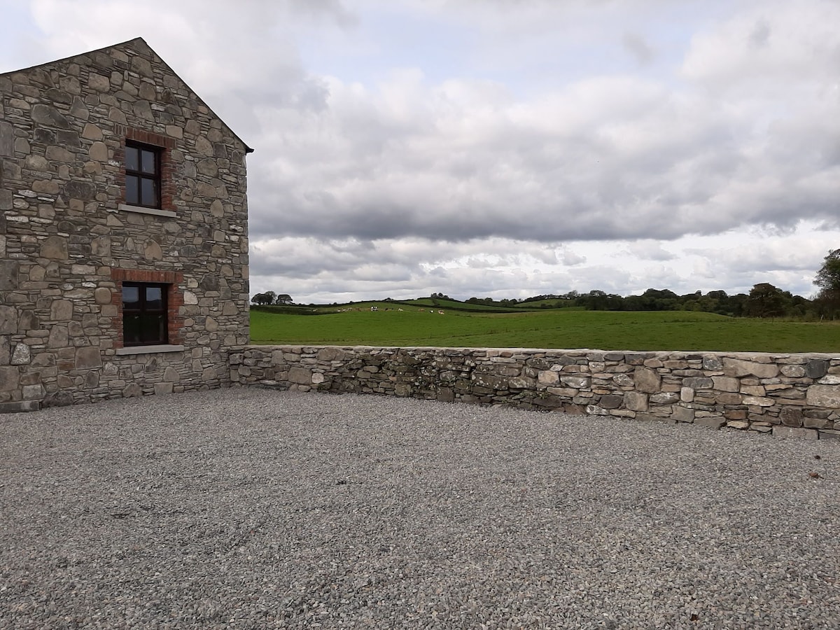 Enclosure in Doosky (cremorne By)Enclosure · 1051 yd
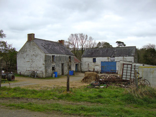 Ballygreany Millmill (water) · 1453 yd
 Man-made underground passage in LemgareMan-made underground passage · 1.2 mi
 Battle of ClontibretBattlefield · 1.4 mi
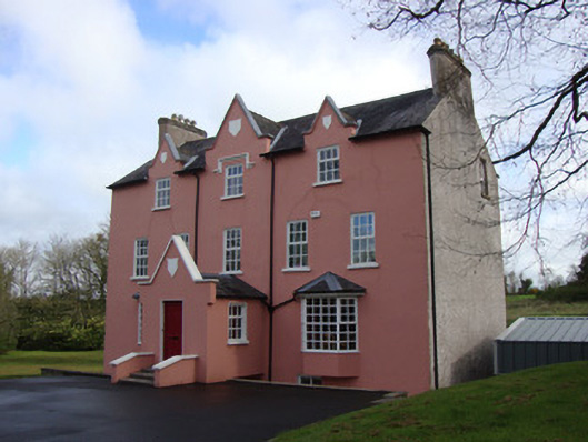 Glebe Houserectory/glebe/vicarage/curate's house · 1.7 mi
 Monaghan WayWalking route · 3.2 mi
 Castleshane WaterfallWaterfall · 3.5 mi
 Keady MonumentMemorial · 4.4 mi
 Keady GlenForest · 4.5 mi
 Fort HillWood · 6.8 mi
 CarrigatukeMountain / peak · 7.5 mi
 Tullyvallen Orange Hall massacremassacre · 8.0 mi