What is recorded here
Near the N edge of a roughly E-W running ridge, c. 60m S of the River Suir which runs parallel to the ridge, in pasture. There is a field boundary immediately E of the standing stone with a factory complex on the other side to the E. A sandstone standing stone (max. 0.38m x 0.26m; H 1.23m) rectangular in plan and orientated NNE-SSW. The stone tapers to a point. It is broadest in the middle and narrows to a rectangular base (0.29m x 0.23m). The surface is spawled, though both broad faces are fairly flat. There are several large fractures and evidence of where stone has fractured off at the SW and NW angles, towards the base. There is also a bad crack 0.5m above ground level on the S face, the W end of which rises up through the stone. There are some grass clumps around the base of the stone but no evidence of any packing stones.
Compiled by: Jean Farrelly
Date of upload: 12 November 2013
Likely dating to the Late Neolithic or Bronze Age, this standing stone may have functioned as a territorial marker or had ceremonial significance. No specific folklore or detailed local tradition is recorded for this site.
The monument record does not grant public access. Check the route and ask the landowner before entering private land.
- What survives
- Recorded monument
Places near here
 MillMill, unclassified · 205 yd
 Minellacountry house · 396 yd
 Monkey-puzzleMonkey-puzzle · 471 yd
 Cork oakCork oak · 474 yd
 Enclosure in Burgagery-Lands EastEnclosure · 679 yd
 Kilgainy Castle (in ruins)Castle, tower house · 939 yd
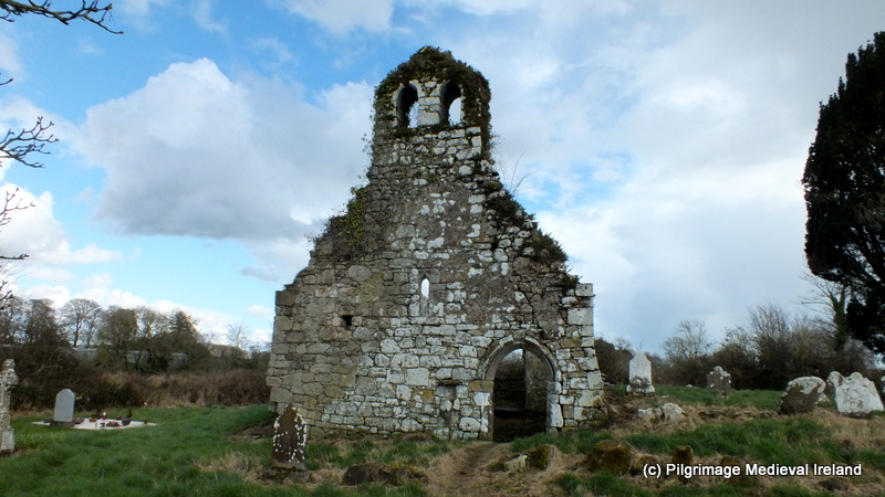 Ritual siteRitual site, holy tree/bush · 1081 yd
 RetrospectMemorial · 1164 yd
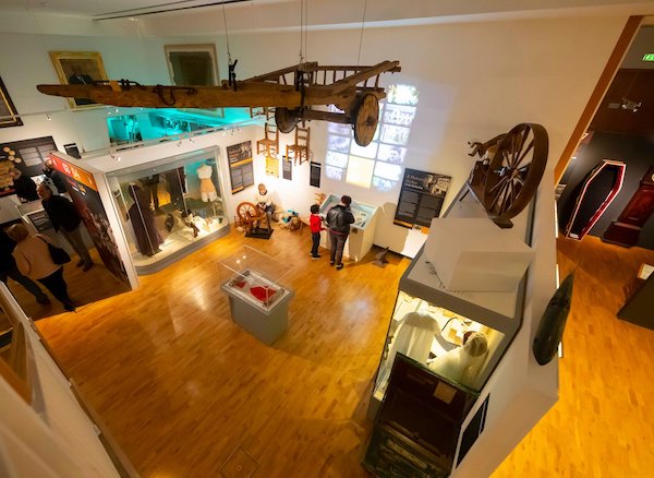 Tipperary Museum of Hidden HistoryMuseum · 1415 yd
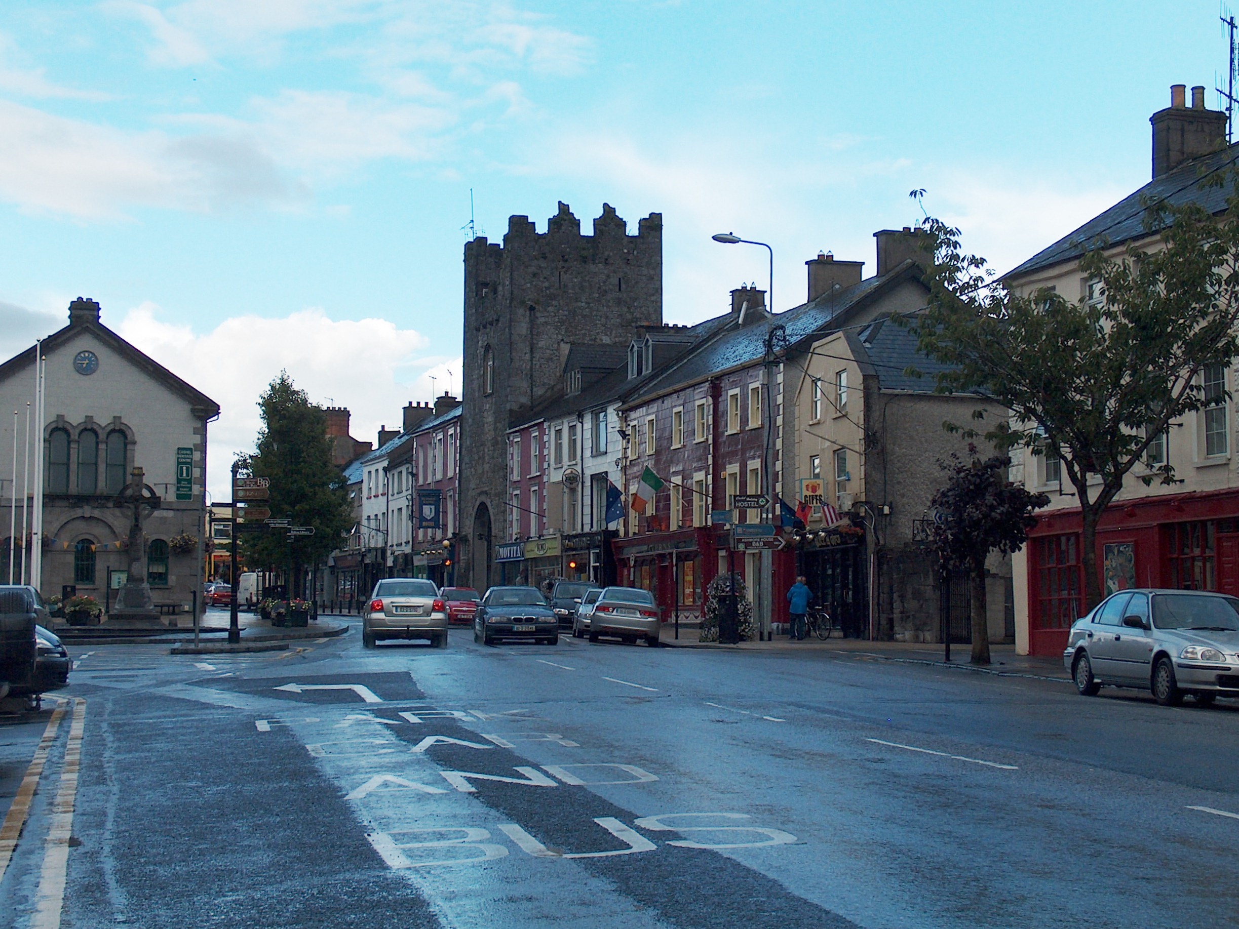 Mick Delahunty SquareMemorial · 1423 yd
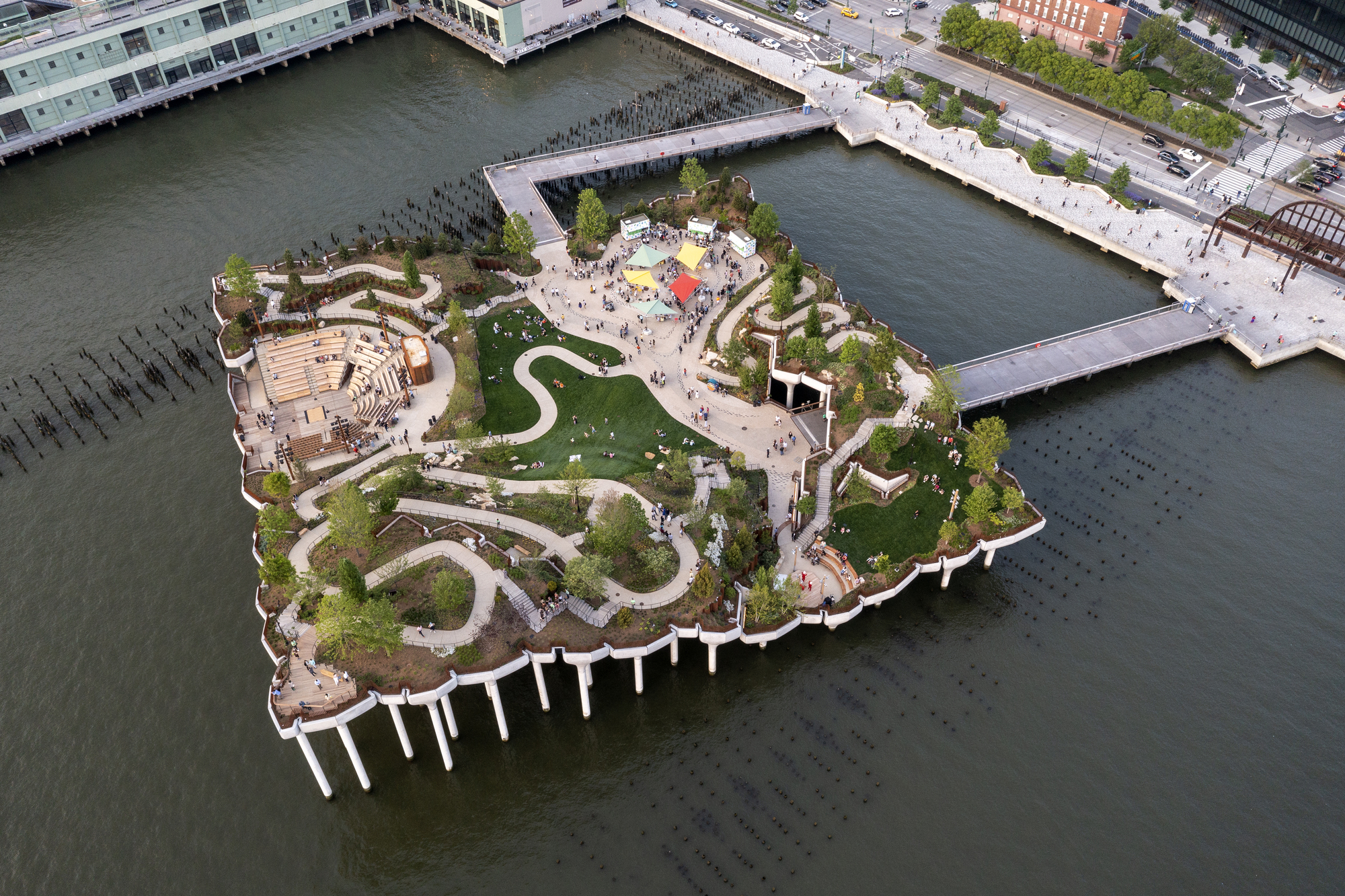 Little IslandIslet · 1589 yd
 Main GuardHeritage attraction · 1622 yd