
What is recorded here
Less than a mile E of Clonmel, immediately S of the River Suir. According to Lyons (1942, 72-3) c. 140m SW of the mill pond there was an ‘ancient mill site’, which is indicated on a sketch plan by Lyons. He speculates that the ‘corn-mill, presumably of the Franciscans, seems to have been located as shown in the plan, as here a current to work the water-wheel was available. A ruined building at the spot seems to be a part of the mill. The lodge at the spot is quite modern, and it can be shown that there was no road here in medieval times’. Lyons suggests that the mill utilised the water channel which fed the mill ponds, which he interpreted as medieval fish-ponds (TS083-021003-). The mill race, feeding the mill pond, is shown on the 1st (1840-41) and and 1950-51 ed. OS 6-inch map. There is insufficient evidence to suggest that there was a pre-1700 mill at the location suggested by Lyons.
Compiled by: Jean Farrelly
Date of revised upload: 20 January 2015
The monument record does not grant public access. Check the route and ask the landowner before entering private land.
- What survives
- Recorded monument
Places near here
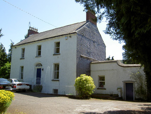 Brookdalehouse · 412 yd
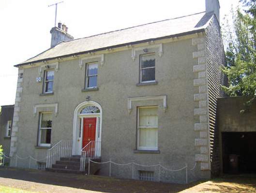 Glenviewhouse · 451 yd
 Cork oakCork oak · 494 yd
 Monkey-puzzleMonkey-puzzle · 499 yd
 Kilgainy Castle (in ruins)Castle, tower house · 811 yd
 Enclosure in Burgagery-Lands EastEnclosure · 884 yd
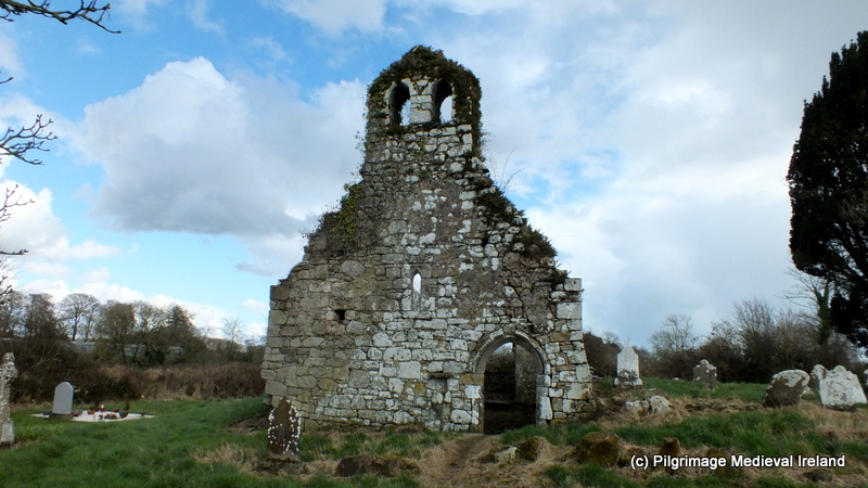 Ritual siteRitual site, holy tree/bush · 1006 yd
 RetrospectMemorial · 1278 yd
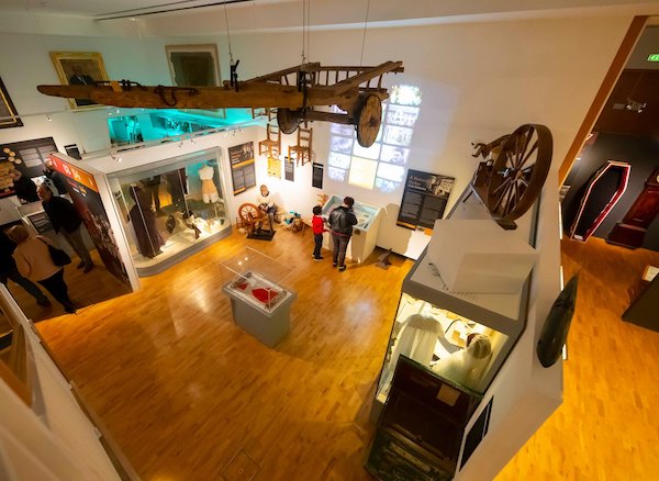 Tipperary Museum of Hidden HistoryMuseum · 1575 yd
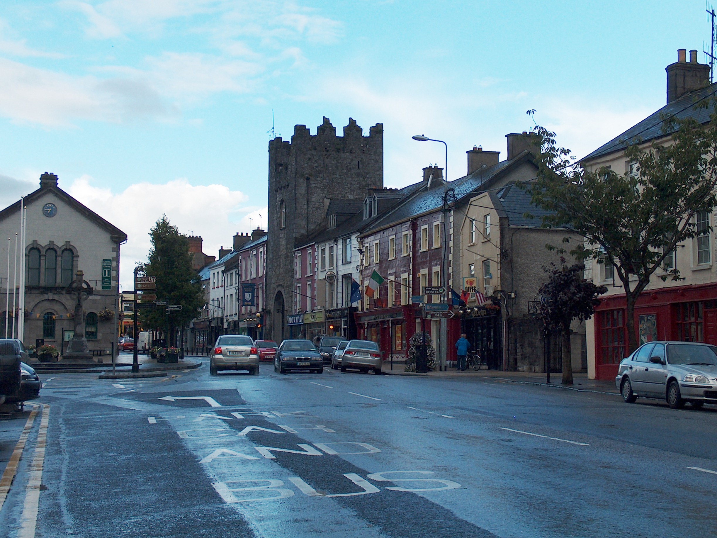 Mick Delahunty SquareMemorial · 1575 yd
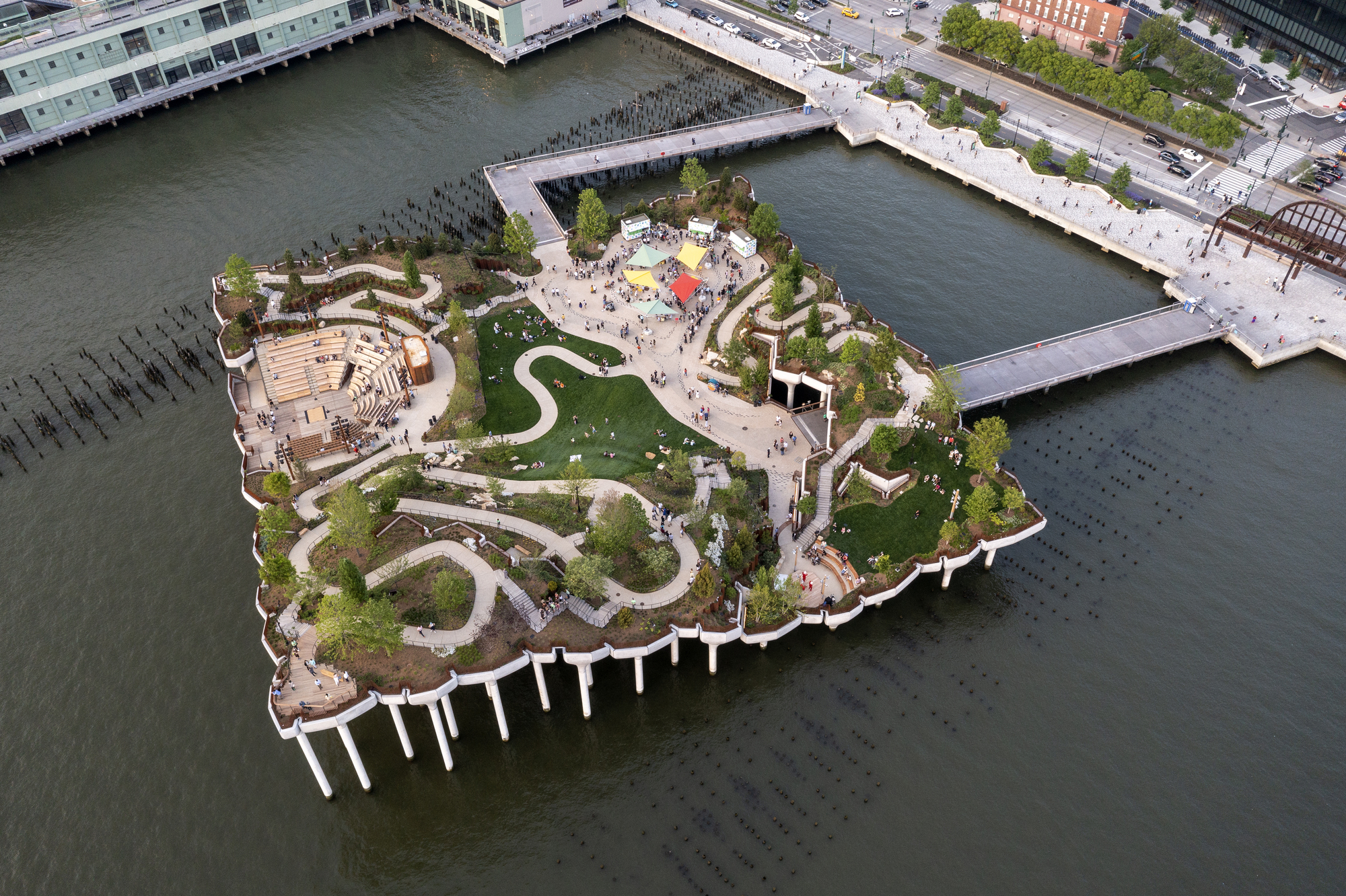 Little IslandIslet · 1697 yd
 Main GuardHeritage attraction · 1753 yd
Other information
Photo: Credit not shown in the picture search · Rights wording not checked; contact us if this picture should be removed