What is recorded here
Clogher Anderson, Clogher North and Clogher South share one standing stone, a prehistoric marker whose exact purpose has faded into uncertainty. It still rises where human hands once chose visibility, perhaps for boundary, warning, memory or ceremony. The stone does not need a dramatic legend; it carries the quieter strangeness of age, waiting beside ordinary land for someone to notice what it kept safe.
The official Northern Ireland record identifies this as STANDING STONE. Recorded period: PREHISTORIC; UNCERTAIN. The official map point was placed at the centre of the recorded archaeological site from the source map reference.
The monument record does not grant public access. Check the route and ask the landowner before entering private land.
- What survives
- Recorded monument
Places near here
 A.P. SITE: ENCLOSURE (possibly tree ring) in Clogher AndersonA.P. SITE: ENCLOSURE (possibly tree ring) · 285 yd
 The Old Bushmills DistilleryFactory · 539 yd
 Old Bushmills DistilleryHeritage attraction · 607 yd
 Former National SchoolHall · 685 yd
 POSSIBLE ENCLOSURE in Clogher NorthPOSSIBLE ENCLOSURE · 800 yd
 ROUND CAIRN: CARNKIRK CASTLE in CarnkirkROUND CAIRN: CARNKIRK CASTLE · 1.2 mi
 Runkerry BeachVisitor information · 1.3 mi
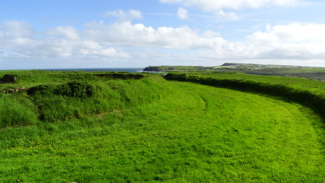 Lissanduff EarthworksNature reserve · 1.4 mi
 Runkerry Stand (Bushfoot)Beach / strand · 1.5 mi
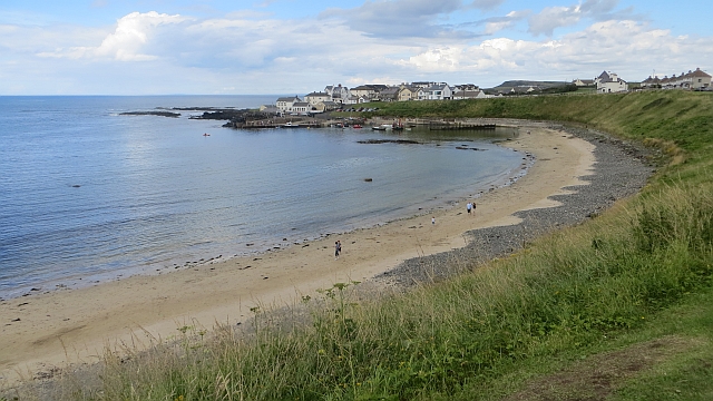 Portballintrae BeachBeach / strand · 1.6 mi
 CASTLE (destroyed): FLOWER HILL HOUSE in Flower HillCASTLE (destroyed): FLOWER HILL HOUSE · 2.0 mi
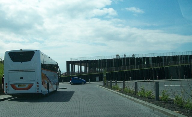 Giant's Causeway Visitor ExperienceMuseum · 2.0 mi