What is recorded here
In level wet pasture with poor views in all directions. Enclosure (LI022-027----) located 125m to NNE. Surveyed by the ASI in 2000 and described as a roughly diamond shaped upright stone (H 1.2m) with its long axis orientated NNW-SSE. The rock which appears to be a conglomerate has packing stones at the base. Visible on Google Earth orthoimage taken 28/06/2018.
See attached sketch plan surveyed by the ASI and Google Earth orthoimage
Compiled by: Martin Fitzpatrick
Date of upload: 7 August 2020
Probably dating to the Late Neolithic or Bronze Age, this standing stone may have had a ritual or territorial function. No specific folklore or detailed carvings are recorded, though its alignment or placement relative to the nearby enclosure may indicate a ceremonial or symbolic relationship.
The monument record does not grant public access. Check the route and ask the landowner before entering private land.
- What survives
- Recorded monument
Places near here
 BarrowBarrow, ring-barrow · 682 yd
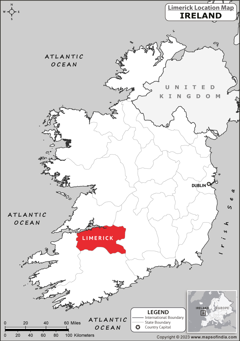 Partially hachuredEnclosure · 732 yd
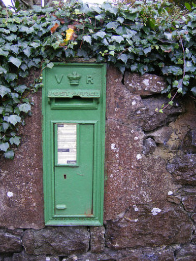 post boxpost box · 874 yd
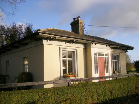 Kilpeacon Housegate lodge · 951 yd
 Villiers WellSpring · 966 yd
 Partially indicatedBawn · 1577 yd
 (Site of) Garryellen CastleCastle, unclassified · 1697 yd
 Carnane RockNamed rock · 1.7 mi
 Monasteranenagh AbbeyHeritage attraction · 4.3 mi
 Biodiversity in the Maigue CatchmentVisitor information · 5.2 mi
 European ashEuropean ash · 5.4 mi
 Dysert AenghusaHeritage attraction · 6.0 mi