
What is recorded here
Ecclesiastical enclosure in Stamullin: a sacred boundary older than the medieval church, cutting across the gentle E-facing slope beside the Delvin River. The ditch measured two metres wide and half a metre deep, narrow enough to step across yet deliberate enough to mark what belonged to prayer. People may have walked past it for generations before stone walls rose, reading the cut earth as a promise that this ground answered back.
Situated on a gentle E-facing slope with a S-N section of the Delvin River c. 120m to the E. Archaeological testing (95E0143) c. 40m SW of the graveyard of Stamullin church (ME034-001----) produced evidence of a ditch or fosse (Wth c. 2m; D c. 0.5m), which was interpreted as part of a fosse or ditch enclosing the church site and perhaps pre-dating the medieval remains. (Swan 1996a; 1996b)
Compiled by: Michael Moore
Date of upload: 11 February, 2015
The monument record does not grant public access. Check the route and ask the landowner before entering private land.
- What survives
- Recorded monument
Places near here
 QuarryQuarry · 561 yd
 Man-made underground passage in Gormanstown DemesneMan-made underground passage · 1035 yd
 Enclosure in TobersoolEnclosure · 1342 yd
 Ballshill PlantingForest · 1472 yd
 SycamoreSycamore · 1.1 mi
 Gormanston CastleCastle · 1.1 mi
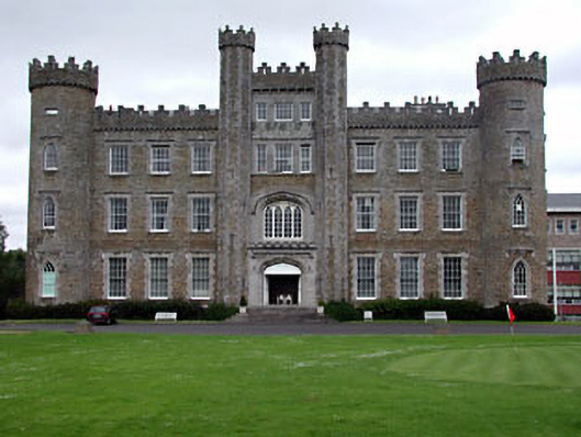 Gormanston Collegecastle/fortified house · 1.1 mi
 MoatCastle, motte · 2.1 mi
 Ben HeadCliff · 2.4 mi
 Clonard SpringSpring · 2.5 mi
 Seamus Ennis Cultural CentreMemorial · 3.1 mi
 Bun-na-CnoicMemorial · 3.3 mi
Other information
Photo: Credit not shown in the picture search · Rights wording not checked; contact us if this picture should be removed