
What is recorded here
No surface trace visible of any church inside large circular area enclosed by a dry stone wall (max. H 2m; max. Wth 2m) which may be a possible early Christian enclosure (OF043-067002-), however this may be associated with field clearance debris. Holy well (OF043-067003-) located in centre of enclosure with holy bush beside well. No evidence of any grave markers inside enclosure. Unlikely if there evere was a church site located here and this is supported by its OS 6-inch designation as a churchyard rather than a church.
The above description is derived from the published 'Archaeological Inventory of County Offaly' (Dublin: Stationery Office, 1997). In certain instances the entries have been revised and updated in the light of recent research.
Date of upload: 23 May 2011
The monument record does not grant public access. Check the route and ask the landowner before entering private land.
- What survives
- Recorded monument
Places near here
 Ritual siteRitual site, holy tree/bush · 40 yd
 Saint Kieran's WellSpring · 54 yd
 IndicatedEnclosure · 653 yd
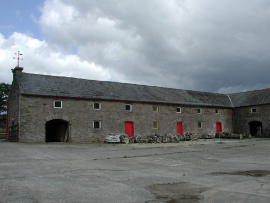 Mount Butlerfarmyard complex · 898 yd
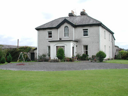 Killavilla Househouse · 1.0 mi
 Ballaghmore CastleCastle, tower house · 1.2 mi
 European ashEuropean ash · 1.5 mi
 European BeechEuropean Beech · 1.6 mi
 CastleCastle, ringwork · 1.6 mi
 Millennium GardenMemorial · 2.0 mi
 Roscrea Petty Sessions HouseHeritage attraction · 2.8 mi
 Golden Grove HillMountain / peak · 3.9 mi
Other information
Photo: Credit not shown in the picture search · Rights wording not checked; contact us if this picture should be removed