What is recorded here
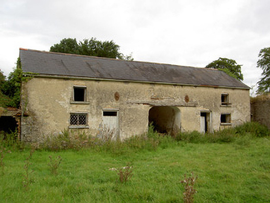
Complex of two-storey outbuildings arranged around yard to the rear (northeast) of St. Anne’s Church of Ireland rectory (13303014), built c. 1810. Now ruinous and out of use. Pitched slate and artificial slate roofs with surviving sections of cast-iron rainwater goods. Roughcast rendered walls with cast-iron pattrice plates/tie bars to the buildings to the northwest, squared rubble limestone walls to the building to the southeast. Red brick buildings to the northeast. Square-headed window openings with tooled limestone sills. Redbrick surrounds to the window openings to the southwest range. Remains of metal lattice windows to range to the northwest. Square-headed door openings to northwest range with timber battened doors. Segmental-headed carriage arch to centre of northwest range and two segmental-headed carriage arches with tooled limestone surrounds to southwest range. Pair of dressed limestone gate piers on square-plan gives access to the site from the southwest. Complex bounded by high rubble limestone wall. Located to the northeast of Newtown-Forbes.
This good quality complex of two-storey outbuildings retains its early form and character despite being out of use for a considerable period. The survival of many original features and materials, such as the slate natural roofs, metal lattice windows and stone dressings to the carriage arches enhance the form of these modest and unassuming utilitarian outbuildings. It was originally built to serve the former Church of Ireland rectory (13303014) adjacent to the southwest, now ruinous. This is an unusually large complex of outbuildings to find associated with a Church of Ireland rectory, indicating that the glebe was once also a large working farm. The well-constructed gateway and the imposing boundary wall complete the setting of this appealing composition, which is an integral element of the built heritage of Newtown-Forbes.
This does not grant access. Most recorded buildings are privately owned; view them only from public ground unless the owner allows entry.
Places near here
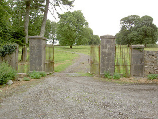 Saint Anne's Rectorygates/railings/walls · 244 yd
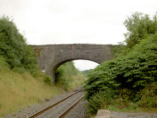 bridgebridge · 566 yd
 Common LimeCommon Lime · 1321 yd
 Pedunculate OakPedunculate Oak · 1367 yd
 CastleforbesCastle · 1737 yd
 Bawn in Castleforbes DemesneBawn · 1.0 mi
 Grave Yard (Disused)Graveyard · 1.5 mi
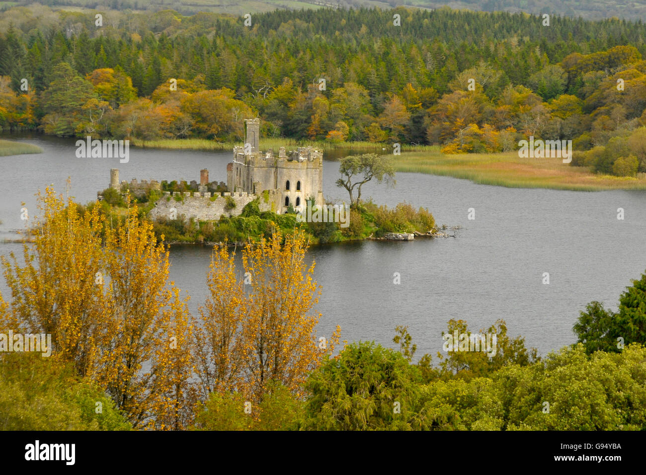 Sallow IslandCrannog · 1.6 mi
 Saint Mel's CathedralCathedral · 3.4 mi
 First World War MemorialMemorial · 3.5 mi
 Rabbit IslandIslet · 5.2 mi
 Graveyard in Curry (ardagh By., Coolamber Ed)Graveyard · 5.8 mi
Other information
Photo: National Inventory of Architectural Heritage · Website use allowed for educational or private purposes with source credit