
What is recorded here
Immediately to the SE of a church (LF008-011001-). This subrectangular graveyard (53m WNW-ESE; 41m NNE-SSW) is defined from NNW-N-SE by a low, poorly defined scarp (H 0.3m). Two laneways, intersecting at its SW corner, define its S and W sides. All of the burials are close to the church. Memorials date to the 18th and 19th centuries. Neatly laid out, to the SE of church, are four rows of five upright, uninscribed stones. The graveyard is no longer is use.
Compiled by: Patrick F. O'Donovan, Caimin O'Brien
Date of upload: 4 June 2013
The monument record does not grant public access. Check the route and ask the landowner before entering private land.
- What survives
- Recorded monument
Places near here
 Castle Forbeschurch/chapel · 27 yd
 Bawn in Castleforbes DemesneBawn · 947 yd
 CastleforbesCastle · 988 yd
 Lebanon CedarLebanon Cedar · 1031 yd
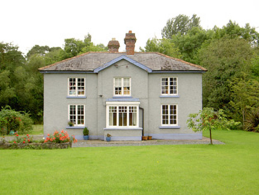 worker's houseworker's house · 1185 yd
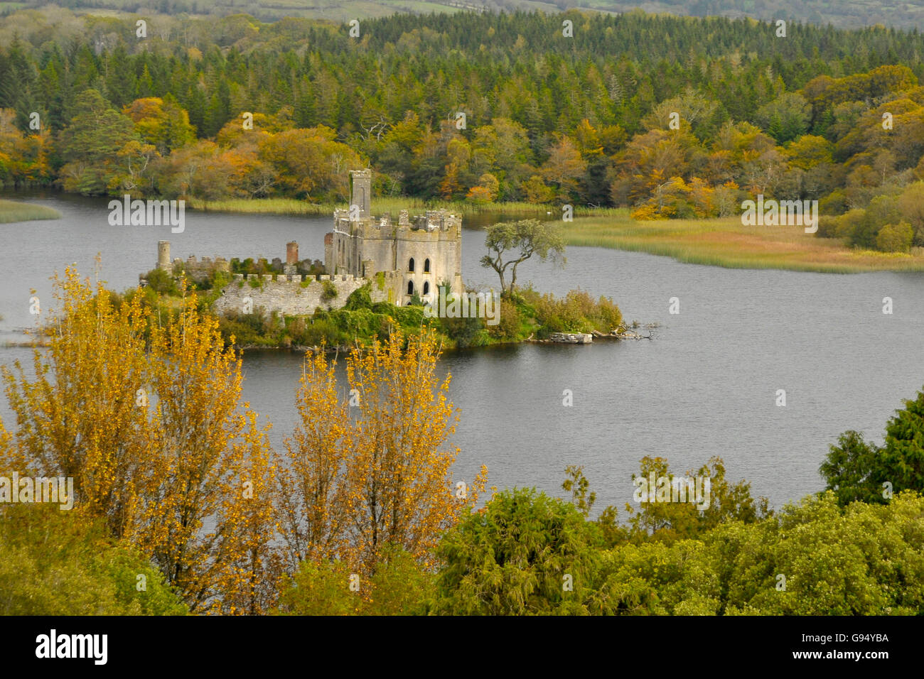 Sallow IslandCrannog · 1228 yd
 Common LimeCommon Lime · 1615 yd
 Enclosure in ClooniherEnclosure · 1.3 mi
 St. Barry's WellSpring · 1.3 mi
 Long IslandIslet · 1.5 mi
 Saint Mel's CathedralCathedral · 4.2 mi
 First World War MemorialMemorial · 4.2 mi
Other information
Photo: Credit not shown in the picture search · Rights wording not checked; contact us if this picture should be removed