What is recorded here
Indicated is a small oval crannog in Ballymaguaran Lough, County Cavan, Ireland. It measures about thirty metres wide and twenty metres long, floating one hundred and ninety metres from the shoreline. The island resisted mapping on early Ordnance Survey sheets, hiding in plain water while people likely stood at its edge, dropping ropes into cold depth or watching birds circle above its invisible mark.
Small oval island (dims. c. 30m WNW-ESE; c. 20m NNW-SSE) in Ballymaguaran Lough, c. 190m from the shoreline. Not marked on OS 1836 or 1876 eds.
The above description is derived from the published 'Archaeological Inventory of County Cavan' (Dublin: Stationery Office, 1995). In certain instances the entries have been revised and updated in the light of recent research.
Date of upload/revision: 22 December 2008
The monument record does not grant public access. Check the route and ask the landowner before entering private land.
- What survives
- Recorded monument
Places near here
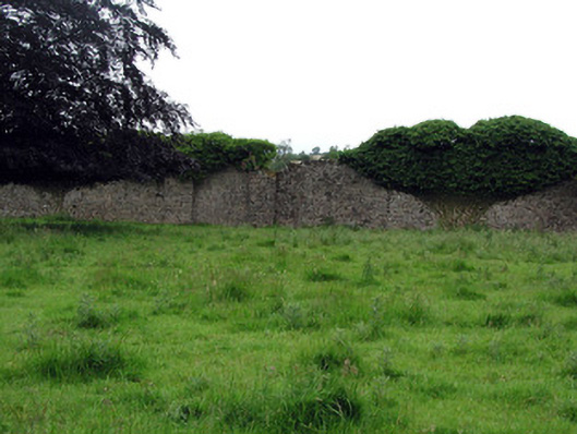 Woodfordwalled garden · 732 yd
 CastleCastle, ringwork · 778 yd
 DerrynigginMountain / peak · 796 yd
 Black PoplarBlack Poplar · 979 yd
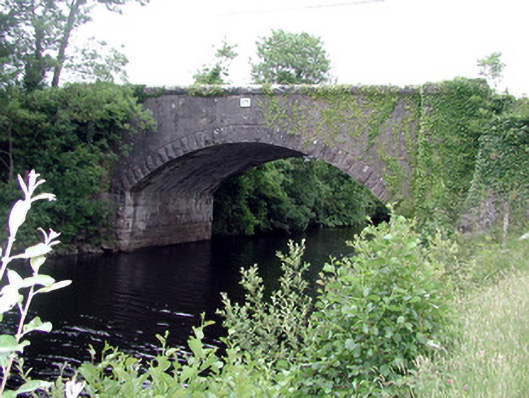 Ballinacur Bridgebridge · 1152 yd
 IndicatedCastle, tower house · 1214 yd
 Cross in CullyCross · 1.1 mi
 Cherry IslandIslet · 1.2 mi
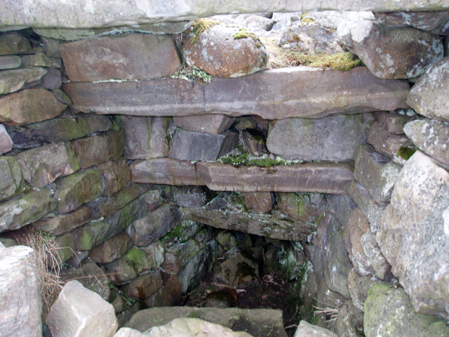 Outlined, Corn KilnEnclosure · 1.2 mi
 Crane IslandIslet · 1.2 mi
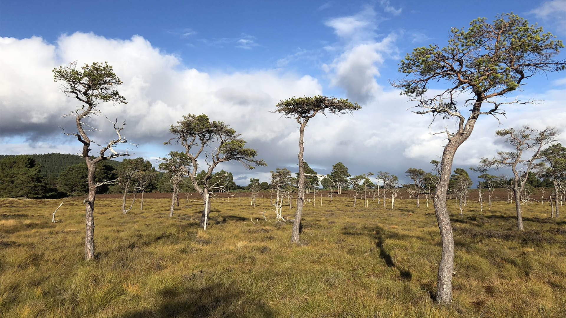 Derrycassan Bog WoodlandWood · 1.3 mi
 Giants GraveArchaeological place · 1.5 mi